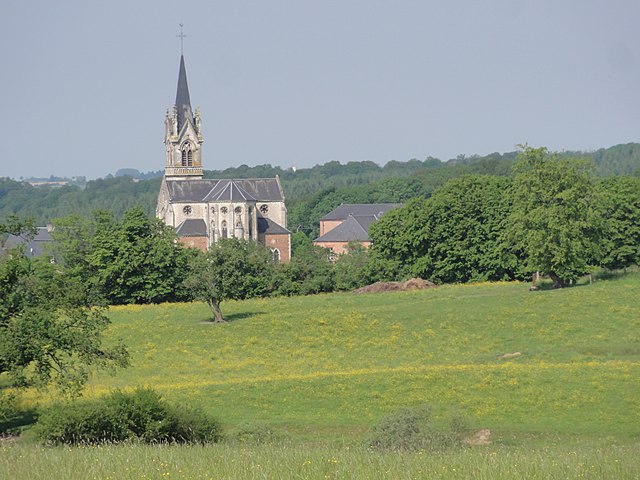
Saint-Jean-aux-Bois (Saint-Jean-aux-Bois)
- commune in Ardennes, France
- Country:

- Postal Code: 08220
- Coordinates: 49° 43' 30" N, 4° 18' 24" E


- GPS tracks (wikiloc): [Link]
- Area: 8.9 sq km
- Population: 128
- Wikipedia en: wiki(en)
- Wikipedia: wiki(fr)
- Wikidata storage: Wikidata: Q1147834
- Wikipedia Commons Category: [Link]
- Freebase ID: [/m/03m8gkl]
- GeoNames ID: Alt: [6426086]
- SIREN number: [210803458]
- VIAF ID: Alt: [134089596]
- INSEE municipality code: 08382
Shares border with regions:

La Romagne
- commune in Ardennes, France
- Country:
- Postal Code: 08220
- Coordinates: 49° 40' 44" N, 4° 18' 54" E
- GPS tracks (wikiloc): [Link]
- Area: 9.91 sq km
- Population: 127
Le Fréty
- commune in Ardennes, France
- Country:
- Postal Code: 08290
- Coordinates: 49° 44' 21" N, 4° 16' 56" E
- GPS tracks (wikiloc): [Link]
- Area: 7.09 sq km
- Population: 59

Maranwez
- commune in Ardennes, France
- Country:
- Postal Code: 08460
- Coordinates: 49° 43' 44" N, 4° 20' 33" E
- GPS tracks (wikiloc): [Link]
- Area: 3.03 sq km
- Population: 61

Rocquigny
- commune in Ardennes, France
- Country:
- Postal Code: 08220
- Coordinates: 49° 41' 25" N, 4° 14' 51" E
- GPS tracks (wikiloc): [Link]
- Area: 36.85 sq km
- Population: 682

Montmeillant
- commune in Ardennes, France
- Country:
- Postal Code: 08220
- Coordinates: 49° 41' 33" N, 4° 19' 50" E
- GPS tracks (wikiloc): [Link]
- Area: 7.02 sq km
- Population: 85

La Férée
- commune in Ardennes, France
- Country:
- Postal Code: 08290
- Coordinates: 49° 45' 47" N, 4° 18' 8" E
- GPS tracks (wikiloc): [Link]
- Area: 11.01 sq km
- Population: 87