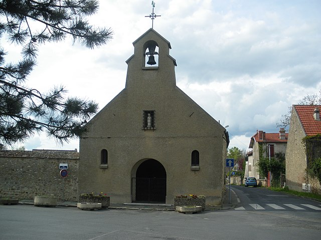
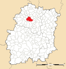
Saint-Jean-de-Beauregard (Saint-Jean-de-Beauregard)
- commune in Essonne, France
- Country:

- Postal Code: 91940
- Coordinates: 48° 39' 49" N, 2° 10' 4" E


- GPS tracks (wikiloc): [Link]
- Area: 3.97 sq km
- Population: 370
- Web site: http://www.mairie-saintjeandebeauregard.fr
- Wikipedia en: wiki(en)
- Wikipedia: wiki(fr)
- Wikidata storage: Wikidata: Q246527
- Wikipedia Commons Category: [Link]
- Freebase ID: [/m/03mh6s0]
- Freebase ID: [/m/03mh6s0]
- GeoNames ID: Alt: [6446202]
- GeoNames ID: Alt: [6446202]
- SIREN number: [219105608]
- SIREN number: [219105608]
- BnF ID: [15280204s]
- BnF ID: [15280204s]
- VIAF ID: Alt: [145786527]
- VIAF ID: Alt: [145786527]
- INSEE municipality code: 91560
- INSEE municipality code: 91560
Shares border with regions:


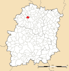
Les Ulis
- commune in Essonne, France
- Country:

- Postal Code: 91940
- Coordinates: 48° 40' 56" N, 2° 10' 3" E


- GPS tracks (wikiloc): [Link]
- AboveSeaLevel: 155 м m
- Area: 5.18 sq km
- Population: 24764
- Web site: [Link]


Janvry
- commune in Essonne, France
- Country:

- Postal Code: 91640
- Coordinates: 48° 38' 51" N, 2° 9' 12" E


- GPS tracks (wikiloc): [Link]
- Area: 8.24 sq km
- Population: 638
- Web site: [Link]


Marcoussis
- commune in Essonne, France
- Country:

- Postal Code: 91460
- Coordinates: 48° 38' 30" N, 2° 13' 47" E


- GPS tracks (wikiloc): [Link]
- Area: 16.8 sq km
- Population: 8132
- Web site: [Link]


Gometz-le-Châtel
- commune in Essonne, France
- Country:

- Postal Code: 91940
- Coordinates: 48° 40' 43" N, 2° 8' 19" E


- GPS tracks (wikiloc): [Link]
- Area: 5.05 sq km
- Population: 2565
- Web site: [Link]
