Saint-Jean-de-Blaignac (Saint-Jean-de-Blaignac)

- commune in Gironde, France
- Country:

- Postal Code: 33420
- Coordinates: 44° 48' 46" N, 0° 8' 23" E


- GPS tracks (wikiloc): [Link]
- Area: 5.58 sq km
- Population: 449
- Wikipedia en: wiki(en)
- Wikipedia: wiki(fr)
- Wikidata storage: Wikidata: Q383151
- Wikipedia Commons Category: [Link]
- Freebase ID: [/m/03ns1cq]
- GeoNames ID: Alt: [6432408]
- SIREN number: [213304215]
- BnF ID: [15256470z]
- INSEE municipality code: 33421
Shares border with regions:


Sainte-Terre
- commune in Gironde, France
- Country:
- Postal Code: 33350
- Coordinates: 44° 49' 41" N, 0° 6' 46" E
- GPS tracks (wikiloc): [Link]
- Area: 13.93 sq km
- Population: 1899
- Web site: [Link]


Saint-Aubin-de-Branne
- commune in Gironde, France
- Country:
- Postal Code: 33420
- Coordinates: 44° 48' 30" N, 0° 10' 18" E
- GPS tracks (wikiloc): [Link]
- Area: 5.52 sq km
- Population: 350


Saint-Vincent-de-Pertignas
- commune in Gironde, France
- Country:
- Postal Code: 33420
- Coordinates: 44° 47' 52" N, 0° 6' 43" E
- GPS tracks (wikiloc): [Link]
- Area: 7.61 sq km
- Population: 381
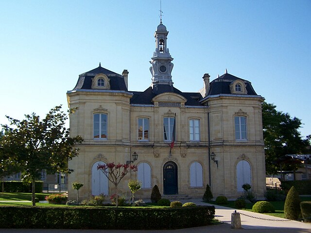
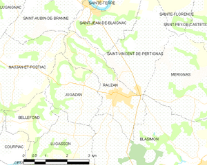
Rauzan
- commune in Gironde, France
- Country:
- Postal Code: 33420
- Coordinates: 44° 46' 43" N, 0° 7' 30" E
- GPS tracks (wikiloc): [Link]
- Area: 6.5 sq km
- Population: 1206