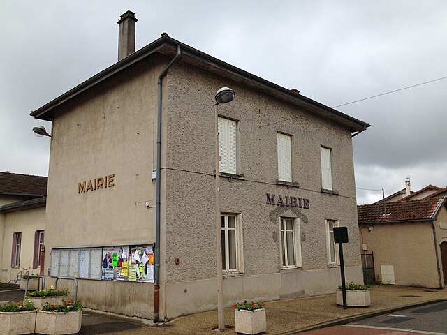
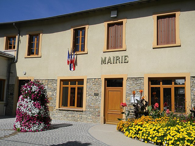
Saint-Jean-de-Niost (Saint-Jean-de-Niost)
- commune in Ain, France
- Country:

- Postal Code: 01800
- Coordinates: 45° 50' 24" N, 5° 13' 7" E


- GPS tracks (wikiloc): [Link]
- Area: 14.19 sq km
- Population: 1418
- Web site: http://www.saintjeandeniost.fr
- Wikipedia en: wiki(en)
- Wikipedia: wiki(fr)
- Wikidata storage: Wikidata: Q369021
- Wikipedia Commons Category: [Link]
- Wikipedia Commons Maps Category: [Link]
- Freebase ID: [/m/081qz_]
- Freebase ID: [/m/081qz_]
- Freebase ID: [/m/081qz_]
- GeoNames ID: Alt: [6618054]
- GeoNames ID: Alt: [6618054]
- GeoNames ID: Alt: [6618054]
- SIREN number: [210103610]
- SIREN number: [210103610]
- SIREN number: [210103610]
- OSM relation ID: [149265]
- OSM relation ID: [149265]
- OSM relation ID: [149265]
- INSEE municipality code: 01361
- INSEE municipality code: 01361
- INSEE municipality code: 01361
Shares border with regions:

Béligneux
- commune in Ain, France
- Country:
- Postal Code: 01360
- Coordinates: 45° 51' 8" N, 5° 7' 44" E
- GPS tracks (wikiloc): [Link]
- Area: 13.3 sq km
- Population: 3300
- Web site: [Link]
Saint-Maurice-de-Gourdans
- commune in Ain, France
- Country:
- Postal Code: 01800
- Coordinates: 45° 49' 17" N, 5° 11' 44" E
- GPS tracks (wikiloc): [Link]
- Area: 25.39 sq km
- Population: 2509
- Web site: [Link]

Pérouges
- commune in Ain, France
- Country:
- Postal Code: 01800
- Coordinates: 45° 54' 12" N, 5° 10' 46" E
- GPS tracks (wikiloc): [Link]
- AboveSeaLevel: 303 м m
- Area: 18.97 sq km
- Population: 1205
- Web site: [Link]

Saint-Vulbas
- commune in Ain, France
 Hiking in Saint-Vulbas
Saint-Vulbas is a charming commune located in the Ain department of the Auvergne-Rhône-Alpes region in France. It’s a great spot for hiking enthusiasts due to its picturesque landscapes, relatively accessible trail systems, and proximity to natural features....
- Country:
- Postal Code: 01150
- Coordinates: 45° 50' 2" N, 5° 17' 27" E
- GPS tracks (wikiloc): [Link]
- Area: 21.44 sq km
- Population: 1194
- Web site: [Link]
Loyettes
- commune in Ain, France
Hiking in Loyettes
Loyettes is a small commune located in the Auvergne-Rhône-Alpes region of France. While it may not be as widely known for hiking as some other areas in the region, there are still opportunities for outdoor activities and enjoying nature nearby....
- Country:
- Postal Code: 01360
- Coordinates: 45° 46' 27" N, 5° 12' 11" E
- GPS tracks (wikiloc): [Link]
- Area: 21.28 sq km
- Population: 3145
- Web site: [Link]

Charnoz-sur-Ain
- commune in Ain, France
- Country:
- Postal Code: 01800
- Coordinates: 45° 51' 51" N, 5° 13' 21" E
- GPS tracks (wikiloc): [Link]
- Area: 6.62 sq km
- Population: 932
- Web site: [Link]

Blyes
- commune in Ain, France
Hiking in Blyes
Blyes is a charming destination for hiking enthusiasts, offering scenic views and a range of trails suitable for various skill levels. While specific hiking routes may vary, the area generally features a mix of forested paths, beautiful landscapes, and potentially encounters with local wildlife....
- Country:
- Postal Code: 01150
- Coordinates: 45° 50' 49" N, 5° 14' 58" E
- GPS tracks (wikiloc): [Link]
- Area: 9.32 sq km
- Population: 1000
- Web site: [Link]