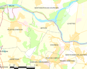
Saint-Maurice-de-Gourdans (Saint-Maurice-de-Gourdans)
- commune in Ain, France
- Country:

- Postal Code: 01800
- Coordinates: 45° 49' 17" N, 5° 11' 44" E


- GPS tracks (wikiloc): [Link]
- Area: 25.39 sq km
- Population: 2509
- Web site: http://www.saintmauricedegourdans.fr
- Wikipedia en: wiki(en)
- Wikipedia: wiki(fr)
- Wikidata storage: Wikidata: Q325794
- Wikipedia Commons Category: [Link]
- Wikipedia Commons Maps Category: [Link]
- Freebase ID: [/m/081rf3]
- Freebase ID: [/m/081rf3]
- Freebase ID: [/m/081rf3]
- GeoNames ID: Alt: [6424683]
- GeoNames ID: Alt: [6424683]
- GeoNames ID: Alt: [6424683]
- SIREN number: [210103784]
- SIREN number: [210103784]
- SIREN number: [210103784]
- VIAF ID: Alt: [158670964]
- VIAF ID: Alt: [158670964]
- VIAF ID: Alt: [158670964]
- Library of Congress authority ID: Alt: [no2008190028]
- Library of Congress authority ID: Alt: [no2008190028]
- Library of Congress authority ID: Alt: [no2008190028]
- PACTOLS thesaurus ID: [pcrtWKSBvJUHGM]
- PACTOLS thesaurus ID: [pcrtWKSBvJUHGM]
- PACTOLS thesaurus ID: [pcrtWKSBvJUHGM]
- INSEE municipality code: 01378
- INSEE municipality code: 01378
- INSEE municipality code: 01378
Shares border with regions:

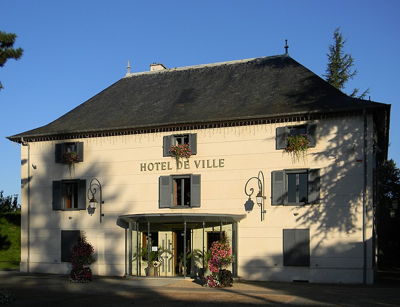
Anthon
- commune in Isère, France
- Country:
- Postal Code: 38280
- Coordinates: 45° 47' 27" N, 5° 10' 11" E
- GPS tracks (wikiloc): [Link]
- Area: 8.82 sq km
- Population: 1037
- Web site: [Link]

Béligneux
- commune in Ain, France
- Country:
- Postal Code: 01360
- Coordinates: 45° 51' 8" N, 5° 7' 44" E
- GPS tracks (wikiloc): [Link]
- Area: 13.3 sq km
- Population: 3300
- Web site: [Link]

Balan
- commune in Ain, France
- Country:
- Postal Code: 01360
- Coordinates: 45° 50' 3" N, 5° 5' 54" E
- GPS tracks (wikiloc): [Link]
- Area: 18.04 sq km
- Population: 2997
- Web site: [Link]

Saint-Jean-de-Niost
- commune in Ain, France
- Country:
- Postal Code: 01800
- Coordinates: 45° 50' 24" N, 5° 13' 7" E
- GPS tracks (wikiloc): [Link]
- Area: 14.19 sq km
- Population: 1418
- Web site: [Link]

Villette-d'Anthon
- commune in Isère, France
- Country:
- Postal Code: 38280
- Coordinates: 45° 47' 43" N, 5° 6' 57" E
- GPS tracks (wikiloc): [Link]
- Area: 22.8 sq km
- Population: 4826
- Web site: [Link]
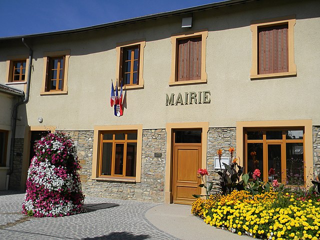
Loyettes
- commune in Ain, France
 Hiking in Loyettes
Loyettes is a small commune located in the Auvergne-Rhône-Alpes region of France. While it may not be as widely known for hiking as some other areas in the region, there are still opportunities for outdoor activities and enjoying nature nearby....
- Country:
- Postal Code: 01360
- Coordinates: 45° 46' 27" N, 5° 12' 11" E
- GPS tracks (wikiloc): [Link]
- Area: 21.28 sq km
- Population: 3145
- Web site: [Link]