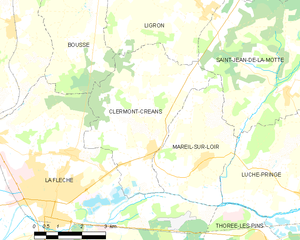
Saint-Jean-de-la-Motte (Saint-Jean-de-la-Motte)

- commune in Sarthe, France
- Country:

- Postal Code: 72510
- Coordinates: 47° 44' 32" N, 0° 3' 23" E


- GPS tracks (wikiloc): [Link]
- Area: 32.03 sq km
- Population: 935
- Web site: http://www.saintjeandelamotte.fr
- Wikipedia en: wiki(en)
- Wikipedia: wiki(fr)
- Wikidata storage: Wikidata: Q1234897
- Wikipedia Commons Category: [Link]
- Freebase ID: [/m/03qj2hb]
- GeoNames ID: Alt: [2979320]
- SIREN number: [217202910]
- BnF ID: [15273843v]
- VIAF ID: Alt: [235665175]
- INSEE municipality code: 72291
Shares border with regions:


Oizé
- commune in Sarthe, France
- Country:
- Postal Code: 72330
- Coordinates: 47° 48' 38" N, 0° 6' 12" E
- GPS tracks (wikiloc): [Link]
- Area: 16.91 sq km
- Population: 1325
- Web site: [Link]

Clermont-Créans
- commune in Sarthe, France
- Country:
- Postal Code: 72200
- Coordinates: 47° 43' 5" N, 0° 0' 54" E
- GPS tracks (wikiloc): [Link]
- Area: 17.82 sq km
- Population: 1279
- Web site: [Link]


La Fontaine-Saint-Martin
- commune in Sarthe, France
- Country:
- Postal Code: 72330
- Coordinates: 47° 47' 28" N, 0° 2' 58" E
- GPS tracks (wikiloc): [Link]
- Area: 13.72 sq km
- Population: 619


Mareil-sur-Loir
- commune in Sarthe, France
- Country:
- Postal Code: 72200
- Coordinates: 47° 42' 53" N, 0° 0' 39" E
- GPS tracks (wikiloc): [Link]
- Area: 11.83 sq km
- Population: 657


Ligron
- commune in Sarthe, France
- Country:
- Postal Code: 72270
- Coordinates: 47° 46' 17" N, 0° 0' 31" E
- GPS tracks (wikiloc): [Link]
- Area: 13.48 sq km
- Population: 505
- Web site: [Link]


Luché-Pringé
- commune in Sarthe, France
- Country:
- Postal Code: 72800
- Coordinates: 47° 42' 14" N, 0° 4' 33" E
- GPS tracks (wikiloc): [Link]
- AboveSeaLevel: 34 м m
- Area: 49.39 sq km
- Population: 1575
- Web site: [Link]

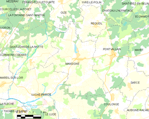
Mansigné
- commune in Sarthe, France
- Country:
- Postal Code: 72510
- Coordinates: 47° 44' 50" N, 0° 8' 6" E
- GPS tracks (wikiloc): [Link]
- Area: 36.31 sq km
- Population: 1594
- Web site: [Link]