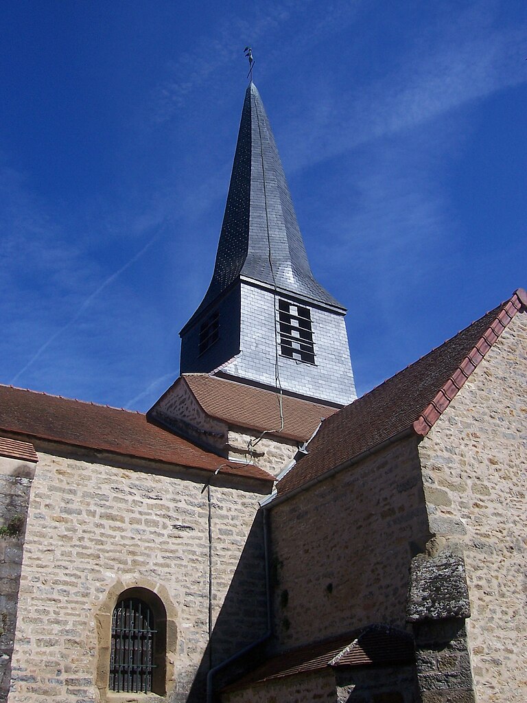
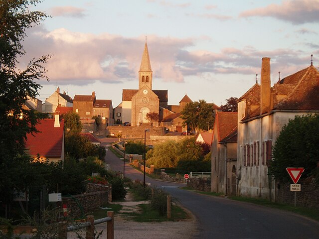
Saint-Léger-sur-Dheune (Saint-Léger-sur-Dheune)
- commune in Saône-et-Loire, France
- Country:

- Postal Code: 71510
- Coordinates: 46° 50' 45" N, 4° 38' 11" E


- GPS tracks (wikiloc): [Link]
- Area: 12.16 sq km
- Population: 1566
- Web site: http://www.stlegerdheune.fr
- Wikipedia en: wiki(en)
- Wikipedia: wiki(fr)
- Wikidata storage: Wikidata: Q918127
- Wikipedia Commons Category: [Link]
- Wikipedia Commons Maps Category: [Link]
- Freebase ID: [/m/03qh399]
- GeoNames ID: Alt: [6442435]
- SIREN number: [217104421]
- BnF ID: [15273412g]
- VIAF ID: Alt: [232816888]
- INSEE municipality code: 71442
Shares border with regions:


Dennevy
- commune in Saône-et-Loire, France
- Country:

- Postal Code: 71510
- Coordinates: 46° 51' 56" N, 4° 38' 57" E


- GPS tracks (wikiloc): [Link]
- Area: 4.62 sq km
- Population: 304


Charrecey
- commune in Saône-et-Loire, France
- Country:

- Postal Code: 71510
- Coordinates: 46° 50' 20" N, 4° 40' 1" E


- GPS tracks (wikiloc): [Link]
- Area: 5.48 sq km
- Population: 309


Aluze
- commune in Saône-et-Loire, France
- Country:

- Postal Code: 71510
- Coordinates: 46° 50' 54" N, 4° 41' 11" E


- GPS tracks (wikiloc): [Link]
- Area: 6.01 sq km
- Population: 252


Saint-Jean-de-Trézy
- commune in Saône-et-Loire, France
- Country:

- Postal Code: 71490
- Coordinates: 46° 50' 11" N, 4° 35' 14" E


- GPS tracks (wikiloc): [Link]
- Area: 11.1 sq km
- Population: 357


Saint-Mard-de-Vaux
- commune in Saône-et-Loire, France
- Country:

- Postal Code: 71640
- Coordinates: 46° 48' 45" N, 4° 41' 2" E


- GPS tracks (wikiloc): [Link]
- Area: 6.63 sq km
- Population: 279


Saint-Bérain-sur-Dheune
- commune in Saône-et-Loire, France
- Country:

- Postal Code: 71510
- Coordinates: 46° 49' 27" N, 4° 36' 7" E


- GPS tracks (wikiloc): [Link]
- Area: 12.67 sq km
- Population: 558
- Web site: [Link]
