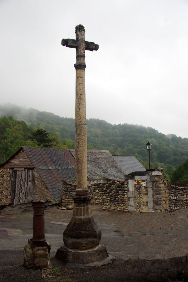
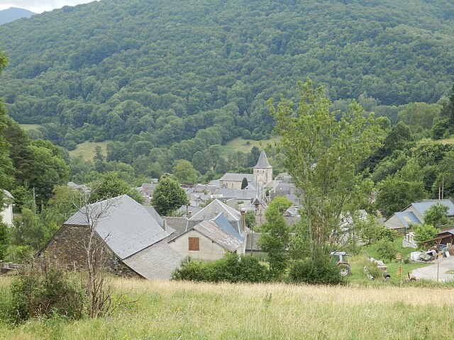
Saint-Lary (Saint-Lary)

- commune in Ariège, France
- Country:

- Postal Code: 09800
- Coordinates: 42° 55' 45" N, 0° 53' 40" E


- GPS tracks (wikiloc): [Link]
- Area: 33.91 sq km
- Population: 132
- Wikipedia en: wiki(en)
- Wikipedia: wiki(fr)
- Wikidata storage: Wikidata: Q1380997
- Wikipedia Commons Category: [Link]
- Freebase ID: [/m/03m8p3q]
- SIREN number: [210902672]
- OSM relation ID: [2099363]
- INSEE municipality code: 09267
Shares border with regions:
Antras
- commune in Ariège, France
- Country:
- Postal Code: 09800
- Coordinates: 42° 52' 54" N, 0° 56' 35" E
- GPS tracks (wikiloc): [Link]
- Area: 20.02 sq km
- Population: 64

Augirein
- commune in Ariège, France
- Country:
- Postal Code: 09800
- Coordinates: 42° 55' 54" N, 0° 55' 1" E
- GPS tracks (wikiloc): [Link]
- Area: 9.84 sq km
- Population: 75

Galey
- commune in Ariège, France
- Country:
- Postal Code: 09800
- Coordinates: 42° 56' 9" N, 0° 54' 56" E
- GPS tracks (wikiloc): [Link]
- Area: 9.35 sq km
- Population: 116

Portet-d'Aspet
- commune in Haute-Garonne, France
- Country:
- Postal Code: 31160
- Coordinates: 42° 56' 26" N, 0° 51' 55" E
- GPS tracks (wikiloc): [Link]
- Area: 13.93 sq km
- Population: 72

Boutx
- commune in Haute-Garonne, France
- Country:
- Postal Code: 31440
- Coordinates: 42° 55' 4" N, 0° 42' 56" E
- GPS tracks (wikiloc): [Link]
- Area: 47.28 sq km
- Population: 240

Melles
- commune in Haute-Garonne, France
- Country:
- Postal Code: 31440
- Coordinates: 42° 52' 5" N, 0° 45' 31" E
- GPS tracks (wikiloc): [Link]
- Area: 45.32 sq km
- Population: 90