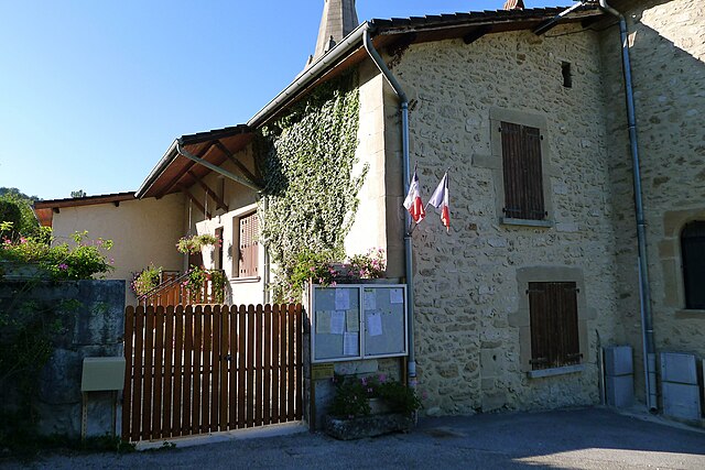
Saint-Laurent-en-Royans (Saint-Laurent-en-Royans)

- commune in Drôme, France
 Hiking in Saint-Laurent-en-Royans
Saint-Laurent-en-Royans is a charming village located in the Drôme department of the Auvergne-Rhône-Alpes region in southeastern France. It's an excellent starting point for hikers due to its stunning natural surroundings, featuring limestone cliffs, lush forests, and the scenic Royans region.
Hiking Opportunities:
-
Variety of Trails: The area offers a range of hiking trails suitable for all levels, from easy walks to more challenging treks. Trails may include gentle paths suitable for families and steep routes that reward you with panoramic views.
-
Stunning Scenery: Hikers can enjoy breathtaking vistas of the Vercors Massif and the picturesque landscapes of the Royans region. Look out for unique rock formations, clear rivers, and diverse flora and fauna.
-
Historical Sites: Some trails may lead to historical landmarks such as ancient ruins and charming local architecture, providing cultural enrichment alongside the natural beauty.
-
Local Wildlife: The region is home to diverse wildlife, making it an excellent spot for nature enthusiasts and bird watching.
-
Accessibility: Various trails start close to the village, making it easy to plan your hikes without needing to travel far. Local maps and signage can help guide you on your journey.
Recommendations:
-
Best Time to Visit: Late spring and early autumn are ideal for hiking, as the weather is typically mild, and the landscapes are lush and vibrant.
-
Gear Up: Make sure to wear sturdy hiking boots, and pack plenty of water and snacks. A map or GPS device is also recommended to navigate the trails.
-
Local Guides: If you’re unfamiliar with the area, consider hiring a local guide who can provide insight into the best trails and share knowledge about the region’s history and ecology.
Conclusion:
Hiking in Saint-Laurent-en-Royans is a rewarding experience for outdoor enthusiasts. With its beautiful trails, stunning views, and opportunity for adventure, it makes for a perfect destination to explore the natural beauty of southeastern France. Remember to check local guidelines for trail conditions and safety before heading out!
- Country:

- Postal Code: 26190
- Coordinates: 45° 1' 40" N, 5° 19' 36" E


- GPS tracks (wikiloc): [Link]
- Area: 27.39 sq km
- Population: 1376
- Web site: http://www.saintlaurentenroyans.fr/
- Wikipedia en: wiki(en)
- Wikipedia: wiki(fr)
- Wikidata storage: Wikidata: Q529993
- Wikipedia Commons Category: [Link]
- Freebase ID: [/m/03mhkl9]
- GeoNames ID: Alt: [2978885]
- SIREN number: [212603112]
- BnF ID: [15253171r]
- INSEE municipality code: 26311
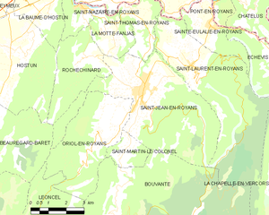
Shares border with regions:


Auberives-en-Royans
- commune in Isère, France
Hiking in Auberives-en-Royans
Auberives-en-Royans is a charming village located in the Isère department in the Auvergne-Rhône-Alpes region of southeastern France. The area is known for its picturesque landscapes, rich history, and outdoor activities, making it a great spot for hiking enthusiasts....
- Country:
- Postal Code: 38680
- Coordinates: 45° 3' 48" N, 5° 18' 5" E
- GPS tracks (wikiloc): [Link]
- Area: 5.07 sq km
- Population: 370


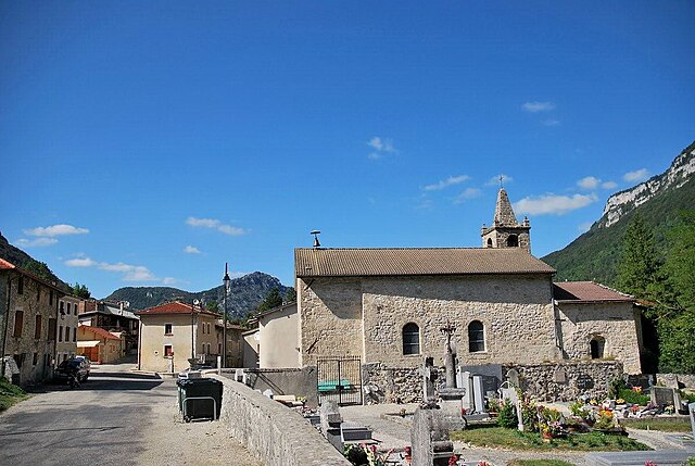
Sainte-Eulalie-en-Royans
- commune in Drôme, France
Hiking in Sainte-Eulalie-en-Royans
Sainte-Eulalie-en-Royans is a beautiful village located in the Vercors Regional Natural Park in the Auvergne-Rhône-Alpes region of France. It's an excellent starting point for hikers seeking a blend of stunning natural landscapes, diverse trails, and local culture....
- Country:
- Postal Code: 26190
- Coordinates: 45° 2' 51" N, 5° 20' 29" E
- GPS tracks (wikiloc): [Link]
- AboveSeaLevel: 286 м m
- Area: 6.14 sq km
- Population: 548

Saint-Thomas-en-Royans
- commune in Drôme, France
Hiking in Saint-Thomas-en-Royans
Saint-Thomas-en-Royans is a picturesque village located in the Drôme department of southeastern France, nestled within the stunning Vercors Regional Natural Park. This region offers a variety of hiking opportunities suitable for all levels of experience, making it a wonderful destination for outdoor enthusiasts....
- Country:
- Postal Code: 26190
- Coordinates: 45° 2' 57" N, 5° 17' 40" E
- GPS tracks (wikiloc): [Link]
- Area: 5.15 sq km
- Population: 585

Saint-Jean-en-Royans
- commune in Drôme, France
Hiking in Saint-Jean-en-Royans
Saint-Jean-en-Royans is a picturesque village located in the Drôme department in the Auvergne-Rhône-Alpes region of southeastern France. Nestled at the foothills of the Vercors Massif, it offers a variety of hiking opportunities that cater to different skill levels and interests....
- Country:
- Postal Code: 26190
- Coordinates: 45° 1' 7" N, 5° 17' 32" E
- GPS tracks (wikiloc): [Link]
- Area: 27.86 sq km
- Population: 2967


Échevis
- commune in Drôme, France
Hiking in Échevis
Échevis is a charming village located in the Auvergne-Rhône-Alpes region of France. It's known for its natural beauty, with scenic landscapes that make it an attractive destination for hiking enthusiasts. Here are some key points to consider when hiking in Échevis:...
- Country:
- Postal Code: 26190
- Coordinates: 45° 1' 38" N, 5° 23' 3" E
- GPS tracks (wikiloc): [Link]
- Area: 11.11 sq km
- Population: 49

Bouvante
- commune in Drôme, France
Hiking in Bouvante
Bouvante is a charming commune located in the Isère department of the Auvergne-Rhône-Alpes region in southeastern France. It is surrounded by breathtaking landscapes, characterized by rolling hills, forests, and mountainous terrain, which makes it a great destination for hiking enthusiasts....
- Country:
- Postal Code: 26190
- Coordinates: 44° 57' 52" N, 5° 16' 14" E
- GPS tracks (wikiloc): [Link]
- AboveSeaLevel: 585 м m
- Area: 83.88 sq km
- Population: 252


La Chapelle-en-Vercors
- commune in Drôme, France
Hiking in La Chapelle-en-Vercors
La Chapelle-en-Vercors is a beautiful village located in the Vercors Regional Natural Park in the Auvergne-Rhône-Alpes region of France. This area is renowned for its stunning landscapes, diverse flora and fauna, and a variety of hiking trails suitable for different skill levels. Here’s what you can expect from hiking in this area:...
- Country:
- Postal Code: 26420
- Coordinates: 44° 58' 4" N, 5° 24' 59" E
- GPS tracks (wikiloc): [Link]
- Area: 45.27 sq km
- Population: 685