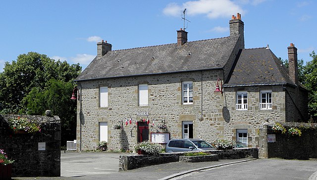
Saint-Loup-du-Gast (Saint-Loup-du-Gast)

- commune in Mayenne, France
- Country:

- Postal Code: 53300
- Coordinates: 48° 23' 7" N, 0° 35' 9" E


- GPS tracks (wikiloc): [Link]
- Area: 9.98 sq km
- Population: 361
- Web site: http://www.st-loup-du-gast.mairie53.fr/
- Wikipedia en: wiki(en)
- Wikipedia: wiki(fr)
- Wikidata storage: Wikidata: Q1101658
- Wikipedia Commons Category: [Link]
- Freebase ID: [/m/03nq089]
- GeoNames ID: Alt: [6436490]
- SIREN number: [215302340]
- BnF ID: [15264027f]
- INSEE municipality code: 53234
Shares border with regions:


La Haie-Traversaine
- commune in Mayenne, France
- Country:
- Postal Code: 53300
- Coordinates: 48° 22' 10" N, 0° 36' 24" E
- GPS tracks (wikiloc): [Link]
- Area: 10.7 sq km
- Population: 490


Chantrigné
- commune in Mayenne, France
- Country:
- Postal Code: 53300
- Coordinates: 48° 24' 55" N, 0° 34' 2" E
- GPS tracks (wikiloc): [Link]
- Area: 18.62 sq km
- Population: 602
- Web site: [Link]

Saint-Fraimbault-de-Prières
- commune in Mayenne, France
- Country:
- Postal Code: 53300
- Coordinates: 48° 20' 59" N, 0° 34' 54" E
- GPS tracks (wikiloc): [Link]
- Area: 16.85 sq km
- Population: 1002
- Web site: [Link]


Ambrières-les-Vallées
- commune in Mayenne, France
- Country:
- Postal Code: 53300
- Coordinates: 48° 24' 8" N, 0° 37' 50" E
- GPS tracks (wikiloc): [Link]
- AboveSeaLevel: 115 м m
- Area: 38.78 sq km
- Population: 2798
- Web site: [Link]


Montreuil-Poulay
- commune in Mayenne, France
- Country:
- Postal Code: 53640
- Coordinates: 48° 22' 56" N, 0° 31' 27" E
- GPS tracks (wikiloc): [Link]
- AboveSeaLevel: 126 м m
- Area: 16.24 sq km
- Population: 382