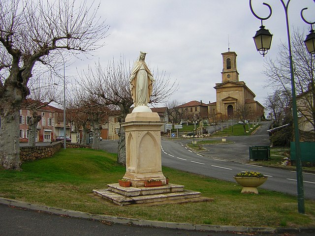
Saint-Marcet (Saint-Marcet)

- commune in Haute-Garonne, France
- Country:

- Postal Code: 31800
- Coordinates: 43° 11' 54" N, 0° 44' 0" E


- GPS tracks (wikiloc): [Link]
- Area: 14.06 sq km
- Population: 363
- Wikipedia en: wiki(en)
- Wikipedia: wiki(fr)
- Wikidata storage: Wikidata: Q1144156
- Wikipedia Commons Category: [Link]
- Freebase ID: [/m/03nt5vd]
- Freebase ID: [/m/03nt5vd]
- GeoNames ID: Alt: [6431820]
- GeoNames ID: Alt: [6431820]
- SIREN number: [213105026]
- SIREN number: [213105026]
- BnF ID: [15255497r]
- BnF ID: [15255497r]
- INSEE municipality code: 31502
- INSEE municipality code: 31502
Shares border with regions:
Cardeilhac
- commune in Haute-Garonne, France
- Country:
- Postal Code: 31350
- Coordinates: 43° 11' 54" N, 0° 41' 1" E
- GPS tracks (wikiloc): [Link]
- Area: 18.41 sq km
- Population: 266

Cassagnabère-Tournas
- commune in Haute-Garonne, France
- Country:
- Postal Code: 31420
- Coordinates: 43° 13' 40" N, 0° 47' 27" E
- GPS tracks (wikiloc): [Link]
- Area: 25.24 sq km
- Population: 459
Larcan
- commune in Haute-Garonne, France
- Country:
- Postal Code: 31800
- Coordinates: 43° 10' 32" N, 0° 43' 14" E
- GPS tracks (wikiloc): [Link]
- Area: 6.96 sq km
- Population: 178

Lalouret-Laffiteau
- commune in Haute-Garonne, France
- Country:
- Postal Code: 31800
- Coordinates: 43° 11' 4" N, 0° 42' 14" E
- GPS tracks (wikiloc): [Link]
- AboveSeaLevel: 410 м m
- Area: 5.39 sq km
- Population: 132
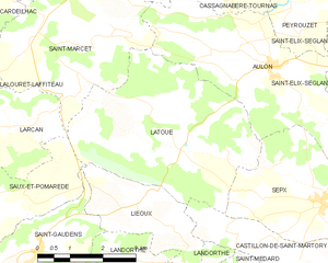
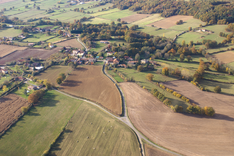
Latoue
- commune in Haute-Garonne, France
- Country:
- Postal Code: 31800
- Coordinates: 43° 10' 8" N, 0° 47' 8" E
- GPS tracks (wikiloc): [Link]
- Area: 17.62 sq km
- Population: 324
Saint-Lary-Boujean
- commune in Haute-Garonne, France
- Country:
- Postal Code: 31350
- Coordinates: 43° 13' 44" N, 0° 44' 9" E
- GPS tracks (wikiloc): [Link]
- AboveSeaLevel: 392 м m
- Area: 8.39 sq km
- Population: 136


Aulon
- commune in Haute-Garonne, France
- Country:
- Postal Code: 31420
- Coordinates: 43° 11' 29" N, 0° 49' 11" E
- GPS tracks (wikiloc): [Link]
- Area: 14.9 sq km
- Population: 317