Saint-Martin-Sainte-Catherine (Saint-Martin-Sainte-Catherine)

- commune in Creuse, France
- Country:

- Postal Code: 23430
- Coordinates: 45° 56' 55" N, 1° 33' 55" E


- GPS tracks (wikiloc): [Link]
- Area: 27.27 sq km
- Population: 330
- Wikipedia en: wiki(en)
- Wikipedia: wiki(fr)
- Wikidata storage: Wikidata: Q176313
- Wikipedia Commons Category: [Link]
- Freebase ID: [/m/03mfkrp]
- Freebase ID: [/m/03mfkrp]
- GeoNames ID: Alt: [6429293]
- GeoNames ID: Alt: [6429293]
- SIREN number: [212321707]
- SIREN number: [212321707]
- BnF ID: [15251604h]
- BnF ID: [15251604h]
- PACTOLS thesaurus ID: [pcrtcy7jgR9uOs]
- PACTOLS thesaurus ID: [pcrtcy7jgR9uOs]
- INSEE municipality code: 23217
- INSEE municipality code: 23217
Shares border with regions:

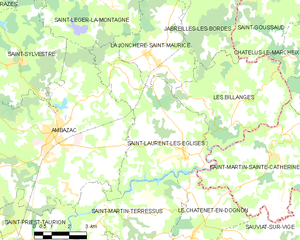
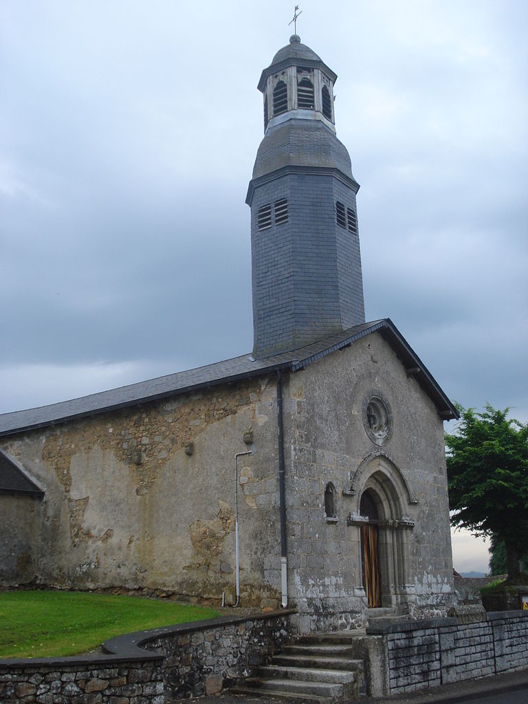
Saint-Laurent-les-Églises
- commune in Haute-Vienne, France
- Country:
- Postal Code: 87240
- Coordinates: 45° 56' 59" N, 1° 29' 52" E
- GPS tracks (wikiloc): [Link]
- Area: 27.37 sq km
- Population: 880

Le Châtenet-en-Dognon
- commune in Haute-Vienne, France
- Country:
- Postal Code: 87400
- Coordinates: 45° 54' 21" N, 1° 30' 22" E
- GPS tracks (wikiloc): [Link]
- Area: 20.39 sq km
- Population: 402


Sauviat-sur-Vige
- commune in Haute-Vienne, France
- Country:
- Postal Code: 87400
- Coordinates: 45° 54' 24" N, 1° 36' 27" E
- GPS tracks (wikiloc): [Link]
- Area: 30.85 sq km
- Population: 931


Les Billanges
- commune in Haute-Vienne, France
- Country:
- Postal Code: 87340
- Coordinates: 45° 57' 50" N, 1° 32' 0" E
- GPS tracks (wikiloc): [Link]
- Area: 22.61 sq km
- Population: 298
Saint-Pierre-Chérignat
- commune in Creuse, France
- Country:
- Postal Code: 23430
- Coordinates: 45° 58' 22" N, 1° 36' 51" E
- GPS tracks (wikiloc): [Link]
- AboveSeaLevel: 421 м m
- Area: 23.72 sq km
- Population: 173