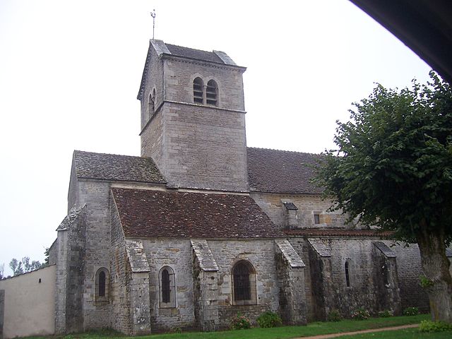
Saint-Martin-de-Commune (Saint-Martin-de-Commune)

- commune in Saône-et-Loire, France
- Country:

- Postal Code: 71490
- Coordinates: 46° 55' 1" N, 4° 30' 8" E


- GPS tracks (wikiloc): [Link]
- Area: 14.57 sq km
- Population: 114
- Wikipedia en: wiki(en)
- Wikipedia: wiki(fr)
- Wikidata storage: Wikidata: Q776307
- Wikipedia Commons Category: [Link]
- Wikipedia Commons Maps Category: [Link]
- Freebase ID: [/m/03qh3pc]
- GeoNames ID: Alt: [6442440]
- SIREN number: [217104504]
- BnF ID: [152734203]
- INSEE municipality code: 71450
Shares border with regions:


Collonge-la-Madeleine
- commune in Saône-et-Loire, France
- Country:
- Postal Code: 71360
- Coordinates: 46° 56' 25" N, 4° 31' 20" E
- GPS tracks (wikiloc): [Link]
- Area: 5.29 sq km
- Population: 42


Saint-Émiland
- commune in Saône-et-Loire, France
- Country:
- Postal Code: 71490
- Coordinates: 46° 54' 15" N, 4° 29' 4" E
- GPS tracks (wikiloc): [Link]
- Area: 23.9 sq km
- Population: 348

Saint-Gervais-sur-Couches
- commune in Saône-et-Loire, France
- Country:
- Postal Code: 71490
- Coordinates: 46° 55' 14" N, 4° 35' 2" E
- GPS tracks (wikiloc): [Link]
- Area: 20.47 sq km
- Population: 202


Tintry
- commune in Saône-et-Loire, France
- Country:
- Postal Code: 71490
- Coordinates: 46° 55' 50" N, 4° 29' 41" E
- GPS tracks (wikiloc): [Link]
- Area: 9.66 sq km
- Population: 77


Dracy-lès-Couches
- commune in Saône-et-Loire, France
- Country:
- Postal Code: 71490
- Coordinates: 46° 53' 18" N, 4° 34' 34" E
- GPS tracks (wikiloc): [Link]
- Area: 8.27 sq km
- Population: 148
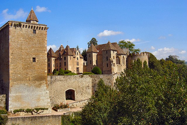

Couches
- commune in Saône-et-Loire, France
- Country:
- Postal Code: 71490
- Coordinates: 46° 52' 11" N, 4° 34' 21" E
- GPS tracks (wikiloc): [Link]
- AboveSeaLevel: 350 м m
- Area: 19.52 sq km
- Population: 1398
- Web site: [Link]