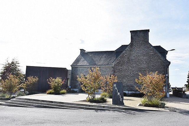
Saint-Martin-sur-Oust (Saint-Martin-sur-Oust)

- commune in Morbihan, France
- Country:

- Postal Code: 56200
- Coordinates: 47° 44' 46" N, 2° 15' 15" E


- GPS tracks (wikiloc): [Link]
- AboveSeaLevel: 10 м m
- Area: 28.24 sq km
- Population: 1332
- Wikipedia en: wiki(en)
- Wikipedia: wiki(fr)
- Wikidata storage: Wikidata: Q127343
- Wikipedia Commons Category: [Link]
- Freebase ID: [/m/03cc0d0]
- GeoNames ID: Alt: [6617129]
- SIREN number: [215602293]
- BnF ID: [15265478p]
- INSEE municipality code: 56229
Shares border with regions:


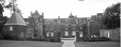
Saint-Gravé
- commune in Morbihan, France
- Country:
- Postal Code: 56220
- Coordinates: 47° 43' 33" N, 2° 16' 51" E
- GPS tracks (wikiloc): [Link]
- Area: 15.75 sq km
- Population: 756

Saint-Nicolas-du-Tertre
- commune in Morbihan, France
- Country:
- Postal Code: 56910
- Coordinates: 47° 48' 11" N, 2° 13' 18" E
- GPS tracks (wikiloc): [Link]
- Area: 12.93 sq km
- Population: 468
- Web site: [Link]


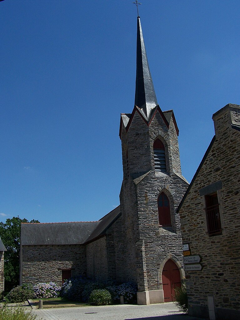
Peillac
- commune in Morbihan, France
- Country:
- Postal Code: 56220
- Coordinates: 47° 42' 48" N, 2° 13' 9" E
- GPS tracks (wikiloc): [Link]
- Area: 24.57 sq km
- Population: 1861
- Web site: [Link]


Ruffiac
- commune in Morbihan, France
- Country:
- Postal Code: 56140
- Coordinates: 47° 49' 5" N, 2° 16' 56" E
- GPS tracks (wikiloc): [Link]
- Area: 36.47 sq km
- Population: 1435
- Web site: [Link]


Saint-Congard
- commune in Morbihan, France
- Country:
- Postal Code: 56140
- Coordinates: 47° 46' 13" N, 2° 19' 2" E
- GPS tracks (wikiloc): [Link]
- Area: 21.87 sq km
- Population: 740

Les Fougerêts
- commune in Morbihan, France
- Country:
- Postal Code: 56200
- Coordinates: 47° 44' 25" N, 2° 12' 45" E
- GPS tracks (wikiloc): [Link]
- Area: 19.91 sq km
- Population: 934
- Web site: [Link]
Saint-Laurent-sur-Oust
- commune in Morbihan, France
- Country:
- Postal Code: 56140
- Coordinates: 47° 47' 39" N, 2° 19' 11" E
- GPS tracks (wikiloc): [Link]
- AboveSeaLevel: 10 м m
- Area: 3.88 sq km
- Population: 360
- Web site: [Link]