canton of La Gacilly (canton de La Gacilly)
- canton of France (until March 2015)
- Country:

- Capital: La Gacilly
- Coordinates: 47° 46' 57" N, 2° 12' 50" E


- GPS tracks (wikiloc): [Link]
- Wikidata storage: Wikidata: Q568680
- BnF ID: [14617568n]
- VIAF ID: Alt: [158597889]
- SUDOC authorities ID: [162173709]
- INSEE canton code: [5608]
Includes regions:


Saint-Martin-sur-Oust
- commune in Morbihan, France
- Country:

- Postal Code: 56200
- Coordinates: 47° 44' 46" N, 2° 15' 15" E


- GPS tracks (wikiloc): [Link]
- AboveSeaLevel: 10 м m
- Area: 28.24 sq km
- Population: 1332


Tréal
- commune in Morbihan, France
- Country:

- Postal Code: 56140
- Coordinates: 47° 50' 21" N, 2° 13' 26" E


- GPS tracks (wikiloc): [Link]
- Area: 19.28 sq km
- Population: 652
- Web site: [Link]


Quelneuc
- former commune in Morbihan, France
- Country:

- Postal Code: 56910
- Coordinates: 47° 49' 24" N, 2° 4' 0" E


- GPS tracks (wikiloc): [Link]
- Area: 13.85 sq km
- Population: 546
- Web site: [Link]

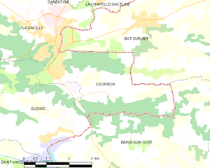
Cournon
- commune in Morbihan, France
- Country:

- Postal Code: 56200
- Coordinates: 47° 44' 47" N, 2° 6' 20" E


- GPS tracks (wikiloc): [Link]
- Area: 10.87 sq km
- Population: 770
Carentoir
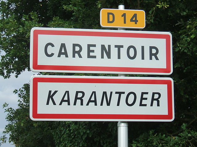
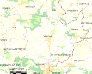
- former commune in Morbihan, France
- Country:

- Postal Code: 56910
- Coordinates: 47° 49' 0" N, 2° 8' 3" E


- GPS tracks (wikiloc): [Link]
- Area: 59.02 sq km
- Population: 2721
- Web site: [Link]


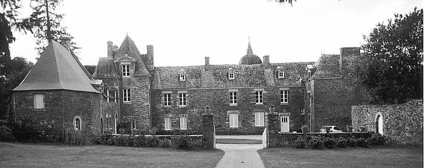
La Gacilly
- former commune in Morbihan, France
- Country:

- Postal Code: 56200
- Coordinates: 47° 45' 54" N, 2° 7' 55" E


- GPS tracks (wikiloc): [Link]
- Area: 16.48 sq km
- Population: 2279
- Web site: [Link]

Les Fougerêts
- commune in Morbihan, France
- Country:

- Postal Code: 56200
- Coordinates: 47° 44' 25" N, 2° 12' 45" E


- GPS tracks (wikiloc): [Link]
- Area: 19.91 sq km
- Population: 934
- Web site: [Link]
La Chapelle-Gaceline
- former commune in Morbihan, France
- Country:

- Postal Code: 56200
- Coordinates: 47° 47' 1" N, 2° 6' 24" E


- GPS tracks (wikiloc): [Link]
- Area: 7.79 sq km
- Population: 779
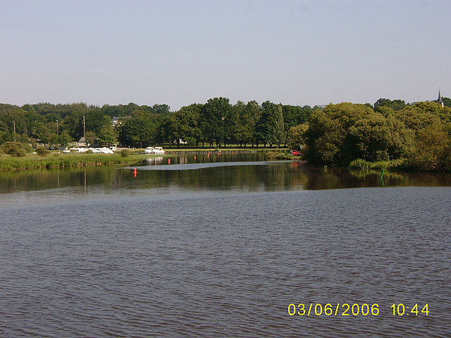

Glénac
- former commune in Morbihan, France
- Country:

- Postal Code: 56200
- Coordinates: 47° 43' 37" N, 2° 8' 0" E


- GPS tracks (wikiloc): [Link]
- Area: 13.7 sq km
- Population: 898