Saint-Maxent (Saint-Maxent)

- commune in Somme, France
- Country:

- Postal Code: 80140
- Coordinates: 50° 0' 23" N, 1° 43' 46" E


- GPS tracks (wikiloc): [Link]
- Area: 6.38 sq km
- Population: 381
- Wikipedia en: wiki(en)
- Wikipedia: wiki(fr)
- Wikidata storage: Wikidata: Q680808
- Wikipedia Commons Category: [Link]
- Freebase ID: [/m/03qmpr0]
- GeoNames ID: Alt: [6444737]
- SIREN number: [218006690]
- BnF ID: [15277184g]
- INSEE municipality code: 80710
Shares border with regions:


Cerisy-Buleux
- commune in Somme, France
- Country:
- Postal Code: 80140
- Coordinates: 49° 58' 34" N, 1° 44' 20" E
- GPS tracks (wikiloc): [Link]
- Area: 5.6 sq km
- Population: 265
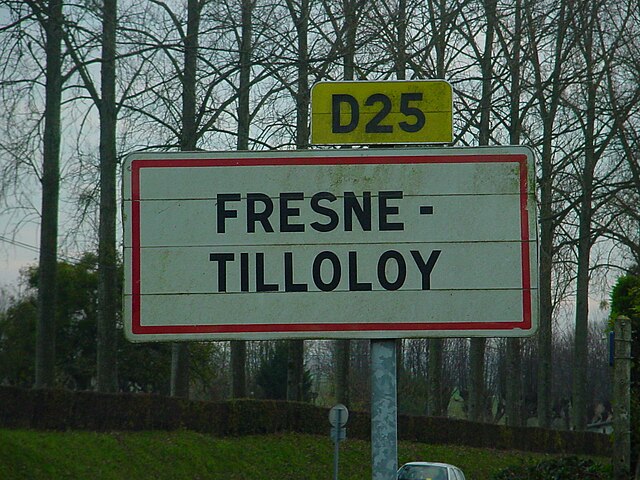

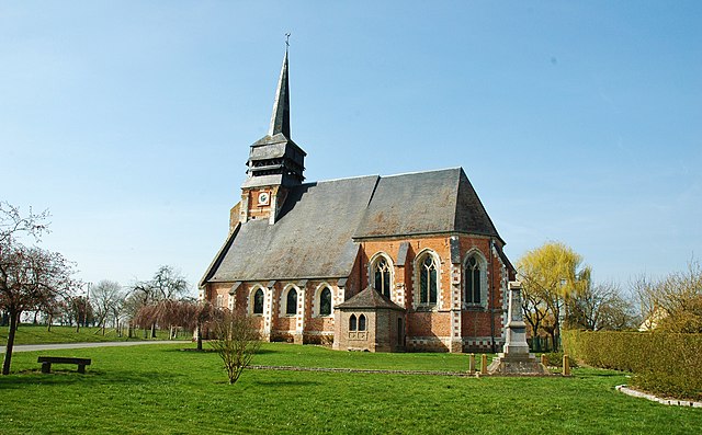
Fresnes-Tilloloy
- commune in Somme, France
- Country:
- Postal Code: 80140
- Coordinates: 49° 59' 3" N, 1° 46' 2" E
- GPS tracks (wikiloc): [Link]
- Area: 3.52 sq km
- Population: 198


Grébault-Mesnil
- commune in Somme, France
- Country:
- Postal Code: 80140
- Coordinates: 50° 1' 31" N, 1° 43' 14" E
- GPS tracks (wikiloc): [Link]
- Area: 2.58 sq km
- Population: 226


Martainneville
- commune in Somme, France
- Country:
- Postal Code: 80140
- Coordinates: 50° 0' 0" N, 1° 42' 24" E
- GPS tracks (wikiloc): [Link]
- Area: 7.58 sq km
- Population: 434


Huppy
- commune in Somme, France
- Country:
- Postal Code: 80140
- Coordinates: 50° 1' 33" N, 1° 45' 57" E
- GPS tracks (wikiloc): [Link]
- Area: 10.81 sq km
- Population: 826
- Web site: [Link]


Ramburelles
- commune in Somme, France
- Country:
- Postal Code: 80140
- Coordinates: 49° 58' 3" N, 1° 42' 35" E
- GPS tracks (wikiloc): [Link]
- Area: 4.59 sq km
- Population: 269
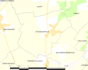
Doudelainville
- commune in Somme, France
- Country:
- Postal Code: 80140
- Coordinates: 50° 0' 7" N, 1° 46' 12" E
- GPS tracks (wikiloc): [Link]
- Area: 4.99 sq km
- Population: 332