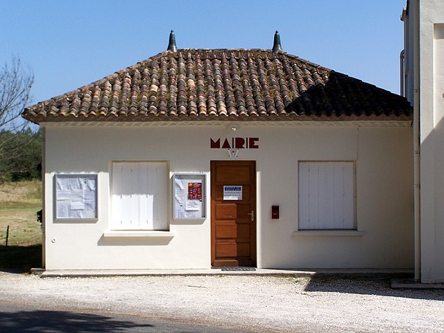
Saint-Michel-de-Castelnau (Saint-Michel-de-Castelnau)

- commune in Gironde, France
- Country:

- Postal Code: 33840
- Coordinates: 44° 16' 53" N, 0° 6' 40" E


- GPS tracks (wikiloc): [Link]
- Area: 42.61 sq km
- Population: 213
- Web site: http://cc-captieux-grignols.fr/mairie_saint-michel-de-castelnau/z/index.php
- Wikipedia en: wiki(en)
- Wikipedia: wiki(fr)
- Wikidata storage: Wikidata: Q1004405
- Wikipedia Commons Category: [Link]
- Freebase ID: [/m/03ns1rt]
- GeoNames ID: Alt: [6432431]
- SIREN number: [213304504]
- BnF ID: [15256498b]
- INSEE municipality code: 33450
Shares border with regions:


Lartigue
- commune in Gironde, France
- Country:
- Postal Code: 33840
- Coordinates: 44° 15' 4" N, 0° 5' 48" E
- GPS tracks (wikiloc): [Link]
- Area: 13.64 sq km
- Population: 42
- Web site: [Link]

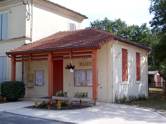
Goualade
- commune in Gironde, France
- Country:
- Postal Code: 33840
- Coordinates: 44° 18' 41" N, 0° 8' 40" E
- GPS tracks (wikiloc): [Link]
- Area: 17 sq km
- Population: 103
- Web site: [Link]


Pindères
- commune in Lot-et-Garonne, France
- Country:
- Postal Code: 47700
- Coordinates: 44° 16' 21" N, 0° 1' 35" E
- GPS tracks (wikiloc): [Link]
- Area: 40.76 sq km
- Population: 217


Saint-Martin-Curton
- commune in Lot-et-Garonne, France
- Country:
- Postal Code: 47700
- Coordinates: 44° 19' 55" N, 0° 0' 38" E
- GPS tracks (wikiloc): [Link]
- Area: 41.48 sq km
- Population: 303
- Web site: [Link]

Giscos
- commune in Gironde, France
- Country:
- Postal Code: 33840
- Coordinates: 44° 16' 21" N, 0° 10' 26" E
- GPS tracks (wikiloc): [Link]
- Area: 32.06 sq km
- Population: 186
- Web site: [Link]