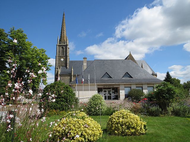
Saint-Nicolas-de-Redon (Saint-Nicolas-de-Redon)

- commune in Loire-Atlantique, France
- Country:

- Postal Code: 44460
- Coordinates: 47° 38' 39" N, 2° 3' 58" E


- GPS tracks (wikiloc): [Link]
- Area: 22.32 sq km
- Population: 3157
- Web site: http://www.saintnicolasderedon.fr/
- Wikipedia en: wiki(en)
- Wikipedia: wiki(fr)
- Wikidata storage: Wikidata: Q1113942
- Wikipedia Commons Category: [Link]
- Freebase ID: [/m/03nwcls]
- Freebase ID: [/m/03nwcls]
- GeoNames ID: Alt: [2977879]
- GeoNames ID: Alt: [2977879]
- SIREN number: [214401853]
- SIREN number: [214401853]
- BnF ID: [152603546]
- BnF ID: [152603546]
- VIAF ID: Alt: [304377003]
- VIAF ID: Alt: [304377003]
- data.gouv.fr org ID: [mairie-de-st-nicolas-de-redon]
- data.gouv.fr org ID: [mairie-de-st-nicolas-de-redon]
- INSEE municipality code: 44185
- INSEE municipality code: 44185
Shares border with regions:

Sainte-Marie
- commune in Ille-et-Vilaine, France
- Country:
- Postal Code: 35600
- Coordinates: 47° 41' 38" N, 2° 0' 3" E
- GPS tracks (wikiloc): [Link]
- Area: 25.28 sq km
- Population: 2259


Fégréac
- commune in Loire-Atlantique, France
- Country:
- Postal Code: 44460
- Coordinates: 47° 35' 5" N, 2° 2' 40" E
- GPS tracks (wikiloc): [Link]
- Area: 44.18 sq km
- Population: 2440
- Web site: [Link]


Rieux
- commune in Morbihan, France
- Country:
- Postal Code: 56350
- Coordinates: 47° 35' 52" N, 2° 6' 27" E
- GPS tracks (wikiloc): [Link]
- Area: 27.78 sq km
- Population: 2848
- Web site: [Link]


Redon
- commune in Ille-et-Vilaine, France
- Country:
- Postal Code: 35600
- Coordinates: 47° 39' 5" N, 2° 5' 5" E
- GPS tracks (wikiloc): [Link]
- Area: 15.09 sq km
- Population: 8914
- Web site: [Link]


Avessac
- commune in Loire-Atlantique, France
- Country:
- Postal Code: 44460
- Coordinates: 47° 39' 12" N, 1° 59' 23" E
- GPS tracks (wikiloc): [Link]
- Area: 76.49 sq km
- Population: 2525
- Web site: [Link]