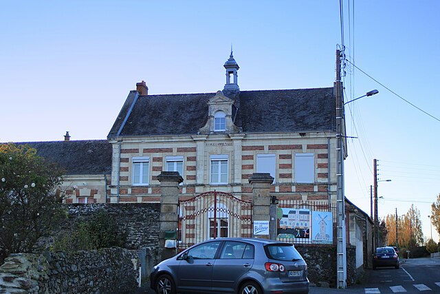
Saint-Pierre-Montlimart (Saint-Pierre-Montlimart)

- former commune in Maine-et-Loire, France
- Country:

- Postal Code: 49110
- Coordinates: 47° 16' 11" N, 1° 1' 39" E


- GPS tracks (wikiloc): [Link]
- Area: 22.29 sq km
- Population: 3353
- Wikipedia en: wiki(en)
- Wikipedia: wiki(fr)
- Wikidata storage: Wikidata: Q1386657
- Wikipedia Commons Category: [Link]
- Freebase ID: [/m/03x_tf_]
- GeoNames ID: Alt: [2977415]
- BnF ID: [152619125]
- PACTOLS thesaurus ID: [pcrtjFxDLqzbN0]
- INSEE municipality code: 49313
Shares border with regions:


La Boissière-sur-Èvre
- former commune in Maine-et-Loire, France
- Country:
- Postal Code: 49110
- Coordinates: 47° 18' 6" N, 1° 4' 48" E
- GPS tracks (wikiloc): [Link]
- Area: 6.02 sq km
- Population: 413
- Web site: [Link]

Chaudron-en-Mauges
- former commune in Maine-et-Loire, France
- Country:
- Postal Code: 49110
- Coordinates: 47° 17' 15" N, 0° 59' 5" E
- GPS tracks (wikiloc): [Link]
- Area: 25.71 sq km
- Population: 1475


La Salle-et-Chapelle-Aubry
- former commune in Maine-et-Loire, France
- Country:
- Postal Code: 49110
- Coordinates: 47° 15' 19" N, 0° 59' 9" E
- GPS tracks (wikiloc): [Link]
- AboveSeaLevel: 105 м m
- Area: 18.76 sq km
- Population: 1347

Botz-en-Mauges
- former commune in Maine-et-Loire, France
- Country:
- Postal Code: 49110
- Coordinates: 47° 18' 25" N, 1° 0' 6" E
- GPS tracks (wikiloc): [Link]
- Area: 15.74 sq km
- Population: 836


Saint-Rémy-en-Mauges
- former commune in Maine-et-Loire, France
- Country:
- Postal Code: 49110
- Coordinates: 47° 16' 15" N, 1° 4' 32" E
- GPS tracks (wikiloc): [Link]
- Area: 21.56 sq km
- Population: 1445

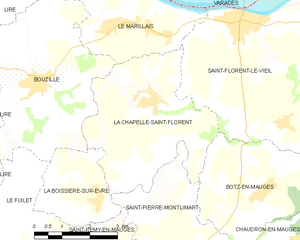
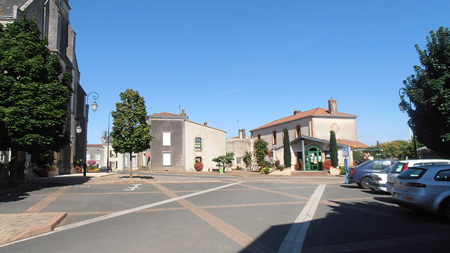
La Chapelle-Saint-Florent
- former commune in Maine-et-Loire, France
- Country:
- Postal Code: 49410
- Coordinates: 47° 20' 1" N, 1° 3' 21" E
- GPS tracks (wikiloc): [Link]
- Area: 15.84 sq km
- Population: 1393
- Web site: [Link]


Le Fief-Sauvin
- former commune in Maine-et-Loire, France
- Country:
- Postal Code: 49600
- Coordinates: 47° 13' 16" N, 1° 2' 30" E
- GPS tracks (wikiloc): [Link]
- Area: 30.29 sq km
- Population: 1672