Saint-Pierre-de-Jards (Saint-Pierre-de-Jards)

- commune in Indre, France
- Country:

- Postal Code: 36260
- Coordinates: 47° 5' 51" N, 1° 57' 59" E


- GPS tracks (wikiloc): [Link]
- Area: 18.01 sq km
- Population: 121
- Wikipedia en: wiki(en)
- Wikipedia: wiki(fr)
- Wikidata storage: Wikidata: Q1136616
- Wikipedia Commons Category: [Link]
- Freebase ID: [/m/03nv95q]
- GeoNames ID: Alt: [6432982]
- SIREN number: [213602055]
- BnF ID: [15257509d]
- INSEE municipality code: 36205
Shares border with regions:
Giroux
- commune in Indre, France
- Country:
- Postal Code: 36150
- Coordinates: 47° 4' 0" N, 1° 54' 43" E
- GPS tracks (wikiloc): [Link]
- Area: 23.48 sq km
- Population: 118


Reuilly
- commune in Indre, France
- Country:
- Postal Code: 36260
- Coordinates: 47° 5' 2" N, 2° 2' 39" E
- GPS tracks (wikiloc): [Link]
- Area: 25.8 sq km
- Population: 2037
- Web site: [Link]

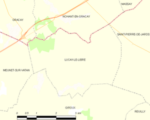
Luçay-le-Libre
- commune in Indre, France
- Country:
- Postal Code: 36150
- Coordinates: 47° 5' 9" N, 1° 54' 18" E
- GPS tracks (wikiloc): [Link]
- Area: 11.85 sq km
- Population: 104


Nohant-en-Graçay
- commune in Cher, France
- Country:
- Postal Code: 18310
- Coordinates: 47° 8' 12" N, 1° 53' 38" E
- GPS tracks (wikiloc): [Link]
- Area: 23.78 sq km
- Population: 303


Chéry
- commune in Cher, France
- Country:
- Postal Code: 18120
- Coordinates: 47° 7' 13" N, 2° 2' 47" E
- GPS tracks (wikiloc): [Link]
- Area: 13.54 sq km
- Population: 211

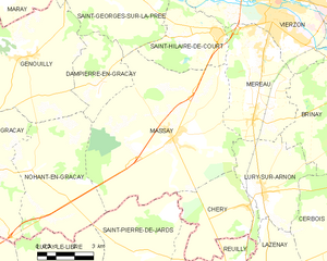
Massay
- commune in Cher, France
- Country:
- Postal Code: 18120
- Coordinates: 47° 9' 14" N, 1° 59' 34" E
- GPS tracks (wikiloc): [Link]
- Area: 47.94 sq km
- Population: 1404