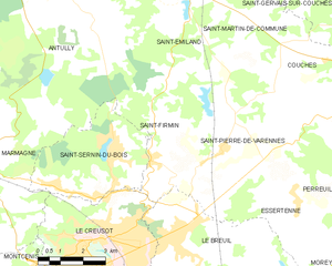
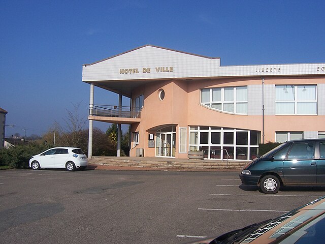
Saint-Pierre-de-Varennes (Saint-Pierre-de-Varennes)

- commune in Saône-et-Loire, France
- Country:

- Postal Code: 71670
- Coordinates: 46° 50' 29" N, 4° 29' 57" E


- GPS tracks (wikiloc): [Link]
- Area: 23.08 sq km
- Population: 846
- Web site: http://www.saint-pierre-de-varennes.fr
- Wikipedia en: wiki(en)
- Wikipedia: wiki(fr)
- Wikidata storage: Wikidata: Q1626074
- Wikipedia Commons Category: [Link]
- Wikipedia Commons Maps Category: [Link]
- Freebase ID: [/m/03qh3ym]
- GeoNames ID: Alt: [6442456]
- SIREN number: [217104686]
- BnF ID: [152734385]
- INSEE municipality code: 71468
Shares border with regions:


Essertenne
- commune in Saône-et-Loire, France
- Country:
- Postal Code: 71510
- Coordinates: 46° 48' 43" N, 4° 32' 45" E
- GPS tracks (wikiloc): [Link]
- Area: 12.82 sq km
- Population: 468
- Web site: [Link]


Saint-Émiland
- commune in Saône-et-Loire, France
- Country:
- Postal Code: 71490
- Coordinates: 46° 54' 15" N, 4° 29' 4" E
- GPS tracks (wikiloc): [Link]
- Area: 23.9 sq km
- Population: 348


Saint-Jean-de-Trézy
- commune in Saône-et-Loire, France
- Country:
- Postal Code: 71490
- Coordinates: 46° 50' 11" N, 4° 35' 14" E
- GPS tracks (wikiloc): [Link]
- Area: 11.1 sq km
- Population: 357

Saint-Firmin
- commune in Saône-et-Loire, France
- Country:
- Postal Code: 71670
- Coordinates: 46° 49' 45" N, 4° 28' 8" E
- GPS tracks (wikiloc): [Link]
- Area: 15.77 sq km
- Population: 874
- Web site: [Link]

Le Breuil, Saône-et-Loire
- commune in Saône-et-Loire, France
- Country:
- Postal Code: 71670
- Coordinates: 46° 47' 40" N, 4° 29' 0" E
- GPS tracks (wikiloc): [Link]
- Area: 28.8 sq km
- Population: 3570
- Web site: [Link]
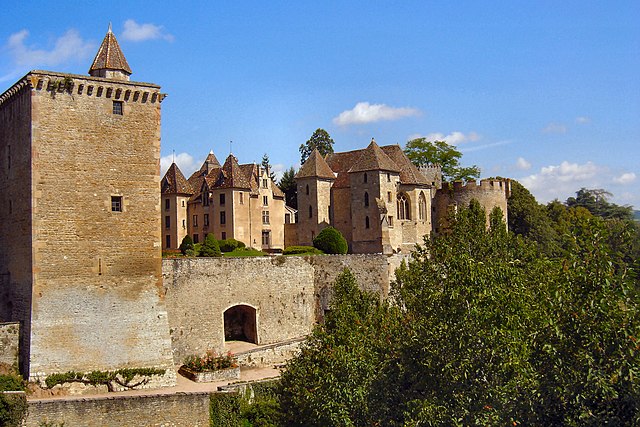

Couches
- commune in Saône-et-Loire, France
- Country:
- Postal Code: 71490
- Coordinates: 46° 52' 11" N, 4° 34' 21" E
- GPS tracks (wikiloc): [Link]
- AboveSeaLevel: 350 м m
- Area: 19.52 sq km
- Population: 1398
- Web site: [Link]