Saint-Pierre-du-Champ (Saint-Pierre-du-Champ)

- commune in Haute-Loire, France
- Country:

- Postal Code: 43130
- Coordinates: 45° 14' 52" N, 3° 53' 58" E


- GPS tracks (wikiloc): [Link]
- AboveSeaLevel: 950 м m
- Area: 31.09 sq km
- Population: 506
- Wikipedia en: wiki(en)
- Wikipedia: wiki(fr)
- Wikidata storage: Wikidata: Q1333761
- Wikipedia Commons Category: [Link]
- Freebase ID: [/m/03ntpc_]
- GeoNames ID: Alt: [6616800]
- SIREN number: [214302176]
- BnF ID: [15260121p]
- INSEE municipality code: 43217
Shares border with regions:


Saint-André-de-Chalencon
- commune in Haute-Loire, France
- Country:
- Postal Code: 43130
- Coordinates: 45° 16' 22" N, 3° 58' 11" E
- GPS tracks (wikiloc): [Link]
- Area: 17.2 sq km
- Population: 347


Roche-en-Régnier
- commune in Haute-Loire, France
- Country:
- Postal Code: 43130
- Coordinates: 45° 13' 17" N, 3° 56' 29" E
- GPS tracks (wikiloc): [Link]
- Area: 26.92 sq km
- Population: 502

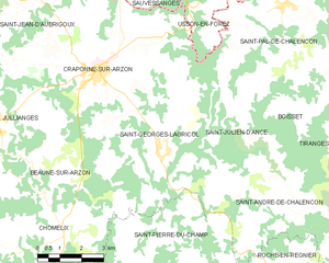
Saint-Georges-Lagricol
- commune in Haute-Loire, France
- Country:
- Postal Code: 43500
- Coordinates: 45° 17' 53" N, 3° 53' 10" E
- GPS tracks (wikiloc): [Link]
- AboveSeaLevel: 850 м m
- Area: 19.17 sq km
- Population: 527

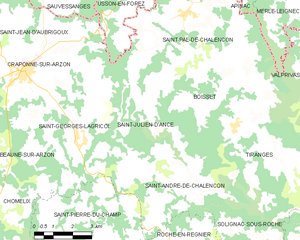
Saint-Julien-d'Ance
- commune in Haute-Loire, France
- Country:
- Postal Code: 43500
- Coordinates: 45° 18' 14" N, 3° 54' 46" E
- GPS tracks (wikiloc): [Link]
- Area: 17.82 sq km
- Population: 247


Chomelix
- commune in Haute-Loire, France
- Country:
- Postal Code: 43500
- Coordinates: 45° 15' 44" N, 3° 49' 40" E
- GPS tracks (wikiloc): [Link]
- Area: 26.47 sq km
- Population: 479
- Web site: [Link]


Bellevue-la-Montagne
- commune in Haute-Loire, France
- Country:
- Postal Code: 43350
- Coordinates: 45° 13' 14" N, 3° 49' 12" E
- GPS tracks (wikiloc): [Link]
- Area: 32.74 sq km
- Population: 413
- Web site: [Link]


Vorey
- commune in Haute-Loire, France
- Country:
- Postal Code: 43800
- Coordinates: 45° 11' 11" N, 3° 54' 36" E
- GPS tracks (wikiloc): [Link]
- Area: 39.23 sq km
- Population: 1419
- Web site: [Link]