Saint-Pierre-la-Palud (Saint-Pierre-la-Palud)

- commune in Rhône, France
- Country:

- Postal Code: 69210
- Coordinates: 45° 47' 27" N, 4° 36' 42" E


- GPS tracks (wikiloc): [Link]
- Area: 7.53 sq km
- Population: 2629
- Web site: http://www.saintpierrelapalud.fr/
- Wikipedia en: wiki(en)
- Wikipedia: wiki(fr)
- Wikidata storage: Wikidata: Q1388829
- Wikipedia Commons Category: [Link]
- Freebase ID: [/m/03qgfx4]
- Freebase ID: [/m/03qgfx4]
- GeoNames ID: Alt: [6441788]
- GeoNames ID: Alt: [6441788]
- SIREN number: [216902312]
- SIREN number: [216902312]
- BnF ID: [152723181]
- BnF ID: [152723181]
- INSEE municipality code: 69231
- INSEE municipality code: 69231
Shares border with regions:


Chevinay
- commune in Rhône, France
- Country:
- Postal Code: 69210
- Coordinates: 45° 46' 13" N, 4° 36' 28" E
- GPS tracks (wikiloc): [Link]
- Area: 8.82 sq km
- Population: 543
- Web site: [Link]

Sourcieux-les-Mines
- commune in Rhône, France
- Country:
- Postal Code: 69210
- Coordinates: 45° 48' 22" N, 4° 37' 21" E
- GPS tracks (wikiloc): [Link]
- Area: 9.96 sq km
- Population: 1999

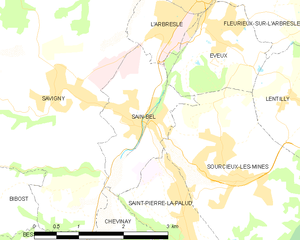
Sain-Bel
- commune in Rhône, France
- Country:
- Postal Code: 69210
- Coordinates: 45° 48' 37" N, 4° 35' 53" E
- GPS tracks (wikiloc): [Link]
- Area: 3.68 sq km
- Population: 2309
- Web site: [Link]
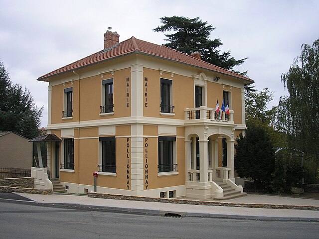

Pollionnay
- commune in Rhône, France
- Country:
- Postal Code: 69290
- Coordinates: 45° 45' 53" N, 4° 39' 40" E
- GPS tracks (wikiloc): [Link]
- Area: 15.8 sq km
- Population: 2388
- Web site: [Link]