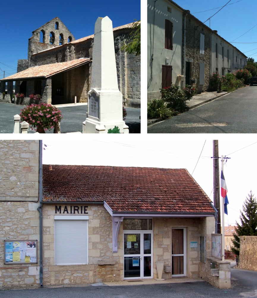
Saint-Pierre-sur-Dropt (Saint-Pierre-sur-Dropt)

- commune in Lot-et-Garonne, France
- Country:

- Postal Code: 47120
- Coordinates: 44° 38' 36" N, 0° 12' 10" E


- GPS tracks (wikiloc): [Link]
- Area: 8.18 sq km
- Population: 312
- Wikipedia en: wiki(en)
- Wikipedia: wiki(fr)
- Wikidata storage: Wikidata: Q193240
- Wikipedia Commons Category: [Link]
- Freebase ID: [/m/03qm2_k]
- GeoNames ID: Alt: [6435076]
- SIREN number: [214702714]
- BnF ID: [152613502]
- INSEE municipality code: 47271
Shares border with regions:


Auriac-sur-Dropt
- commune in Lot-et-Garonne, France
- Country:
- Postal Code: 47120
- Coordinates: 44° 38' 55" N, 0° 14' 45" E
- GPS tracks (wikiloc): [Link]
- Area: 5.28 sq km
- Population: 182


Duras
- commune in Lot-et-Garonne, France
- Country:
- Postal Code: 47120
- Coordinates: 44° 40' 33" N, 0° 10' 58" E
- GPS tracks (wikiloc): [Link]
- Area: 20.17 sq km
- Population: 1315
- Web site: [Link]

Taillecavat
- commune in Gironde, France
- Country:
- Postal Code: 33580
- Coordinates: 44° 38' 46" N, 0° 9' 1" E
- GPS tracks (wikiloc): [Link]
- Area: 9.49 sq km
- Population: 323


Lévignac-de-Guyenne
- commune in Lot-et-Garonne, France
- Country:
- Postal Code: 47120
- Coordinates: 44° 37' 46" N, 0° 11' 57" E
- GPS tracks (wikiloc): [Link]
- Area: 25.02 sq km
- Population: 655
- Web site: [Link]


Monteton
- commune in Lot-et-Garonne, France
- Country:
- Postal Code: 47120
- Coordinates: 44° 37' 23" N, 0° 15' 23" E
- GPS tracks (wikiloc): [Link]
- Area: 13.81 sq km
- Population: 315
- Web site: [Link]