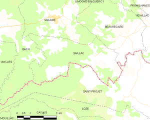
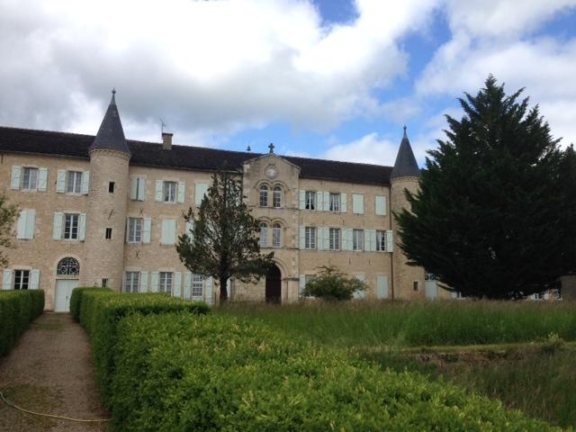
Saint-Projet (Saint-Projet)
- commune in Tarn-et-Garonne, France
- Country:

- Postal Code: 82160
- Coordinates: 44° 18' 15" N, 1° 47' 35" E


- GPS tracks (wikiloc): [Link]
- Area: 26.14 sq km
- Population: 287
- Web site: http://www.saintprojet82.fr
- Wikipedia en: wiki(en)
- Wikipedia: wiki(fr)
- Wikidata storage: Wikidata: Q368477
- Wikipedia Commons Category: [Link]
- Freebase ID: [/m/03qhdv0]
- Freebase ID: [/m/03qhdv0]
- GeoNames ID: Alt: [6614357]
- GeoNames ID: Alt: [6614357]
- SIREN number: [218201721]
- SIREN number: [218201721]
- BnF ID: [15277804x]
- BnF ID: [15277804x]
- INSEE municipality code: 82172
- INSEE municipality code: 82172
Shares border with regions:


Vidaillac
- commune in Lot, France
- Country:

- Postal Code: 46260
- Coordinates: 44° 20' 20" N, 1° 49' 34" E


- GPS tracks (wikiloc): [Link]
- Area: 9.49 sq km
- Population: 164


Saillac
- commune in Lot, France
- Country:

- Postal Code: 46260
- Coordinates: 44° 19' 53" N, 1° 45' 37" E


- GPS tracks (wikiloc): [Link]
- Area: 16.28 sq km
- Population: 164


Vaylats
- commune in Lot, France
- Country:

- Postal Code: 46230
- Coordinates: 44° 20' 14" N, 1° 38' 34" E


- GPS tracks (wikiloc): [Link]
- Area: 26.37 sq km
- Population: 312
- Web site: [Link]


Puylagarde
- commune in Tarn-et-Garonne, France
- Country:

- Postal Code: 82160
- Coordinates: 44° 17' 45" N, 1° 50' 20" E


- GPS tracks (wikiloc): [Link]
- Area: 23.14 sq km
- Population: 338


Beauregard
- commune in Lot, France
- Country:

- Postal Code: 46260
- Coordinates: 44° 20' 45" N, 1° 47' 34" E


- GPS tracks (wikiloc): [Link]
- Area: 15.3 sq km
- Population: 229


Loze
- commune in Tarn-et-Garonne, France
- Country:

- Postal Code: 82160
- Coordinates: 44° 17' 11" N, 1° 47' 36" E


- GPS tracks (wikiloc): [Link]
- Area: 11.05 sq km
- Population: 139


Bach
- commune in Lot, France
- Country:

- Postal Code: 46230
- Coordinates: 44° 21' 1" N, 1° 40' 17" E


- GPS tracks (wikiloc): [Link]
- Area: 21.02 sq km
- Population: 175
