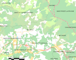
Saint-Rémy-sur-Durolle (Saint-Rémy-sur-Durolle)

- commune in Puy-de-Dôme, France
- Country:

- Postal Code: 63550
- Coordinates: 45° 53' 17" N, 3° 35' 33" E


- GPS tracks (wikiloc): [Link]
- AboveSeaLevel: 672 м m
- Area: 18.17 sq km
- Population: 1757
- Web site: http://www.saintremysurdurolle.fr
- Wikipedia en: wiki(en)
- Wikipedia: wiki(fr)
- Wikidata storage: Wikidata: Q1221447
- Wikipedia Commons Category: [Link]
- Freebase ID: [/m/03ql53c]
- GeoNames ID: Alt: [2977190]
- SIREN number: [216303933]
- BnF ID: [15269743t]
- VIAF ID: Alt: [304553929]
- INSEE municipality code: 63393
Shares border with regions:

Palladuc
- commune in Puy-de-Dôme, France
- Country:
- Postal Code: 63550
- Coordinates: 45° 54' 17" N, 3° 37' 42" E
- GPS tracks (wikiloc): [Link]
- Area: 13.35 sq km
- Population: 549

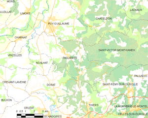
Paslières
- commune in Puy-de-Dôme, France
- Country:
- Postal Code: 63290
- Coordinates: 45° 55' 44" N, 3° 29' 51" E
- GPS tracks (wikiloc): [Link]
- Area: 27.77 sq km
- Population: 1536


La Monnerie-le-Montel
- commune in Puy-de-Dôme, France
- Country:
- Postal Code: 63650
- Coordinates: 45° 52' 16" N, 3° 36' 4" E
- GPS tracks (wikiloc): [Link]
- Area: 4.65 sq km
- Population: 1772
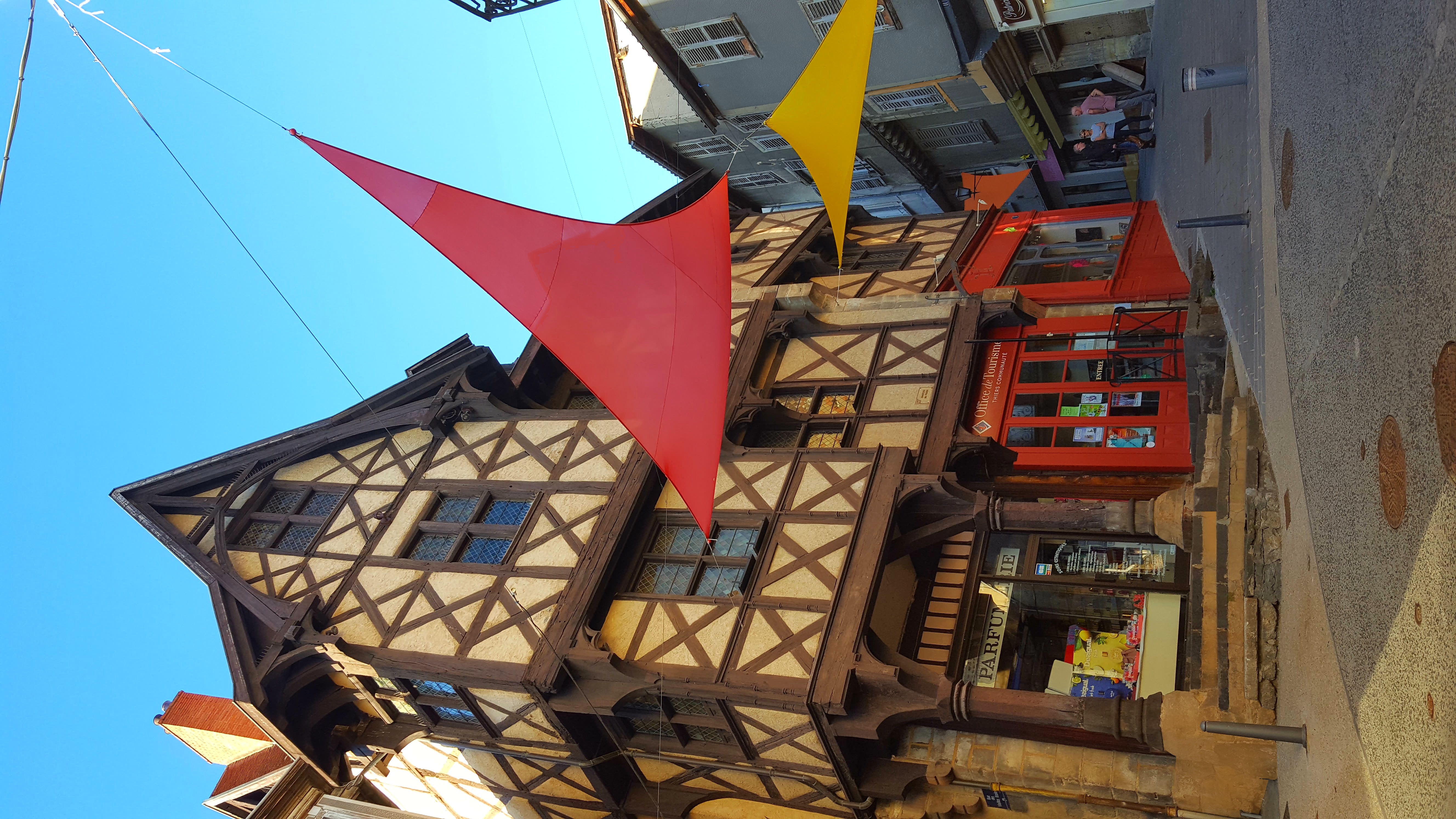

Thiers
- commune in Puy-de-Dôme, France
- Country:
- Postal Code: 63300
- Coordinates: 45° 51' 23" N, 3° 32' 51" E
- GPS tracks (wikiloc): [Link]
- AboveSeaLevel: 439 м m
- Area: 44.49 sq km
- Population: 11805
- Web site: [Link]

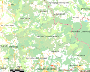
Saint-Victor-Montvianeix
- commune in Puy-de-Dôme, France
- Country:
- Postal Code: 63550
- Coordinates: 45° 56' 24" N, 3° 36' 14" E
- GPS tracks (wikiloc): [Link]
- Area: 45.18 sq km
- Population: 245