Saint-Romain-en-Gier (Saint-Romain-en-Gier)

- commune in Rhône, France
- Country:

- Postal Code: 69700
- Coordinates: 45° 33' 55" N, 4° 42' 25" E


- GPS tracks (wikiloc): [Link]
- Area: 4.05 sq km
- Population: 573
- Wikipedia en: wiki(en)
- Wikipedia: wiki(fr)
- Wikidata storage: Wikidata: Q1388774
- Wikipedia Commons Category: [Link]
- Freebase ID: [/m/03qgfxv]
- GeoNames ID: Alt: [2977136]
- SIREN number: [216902361]
- BnF ID: [152723228]
- INSEE municipality code: 69236
Shares border with regions:


Dargoire
- commune in Loire, France
- Country:
- Postal Code: 42800
- Coordinates: 45° 33' 37" N, 4° 40' 5" E
- GPS tracks (wikiloc): [Link]
- AboveSeaLevel: 245 м m
- Area: 1.92 sq km
- Population: 503


Tartaras
- commune in Loire, France
- Country:
- Postal Code: 42800
- Coordinates: 45° 33' 14" N, 4° 40' 7" E
- GPS tracks (wikiloc): [Link]
- Area: 3.91 sq km
- Population: 829
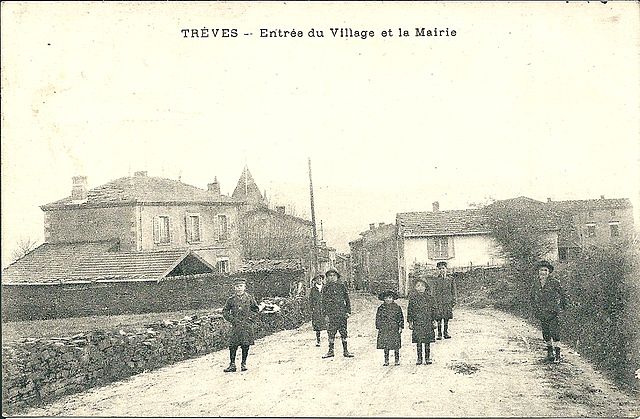

Trèves
- commune in Rhône, France
- Country:
- Postal Code: 69420
- Coordinates: 45° 32' 22" N, 4° 40' 34" E
- GPS tracks (wikiloc): [Link]
- Area: 7.56 sq km
- Population: 725


Saint-Jean-de-Touslas
- former commune in Rhône, France
- Country:
- Postal Code: 69700
- Coordinates: 45° 34' 38" N, 4° 39' 42" E
- GPS tracks (wikiloc): [Link]
- Area: 5.57 sq km
- Population: 846


Échalas
- commune in Rhône, France
- Country:
- Postal Code: 69700
- Coordinates: 45° 33' 7" N, 4° 42' 56" E
- GPS tracks (wikiloc): [Link]
- Area: 20.95 sq km
- Population: 1737


Givors
- commune in the metropolis of Lyon, France
- Country:
- Postal Code: 69700
- Coordinates: 45° 35' 26" N, 4° 46' 8" E
- GPS tracks (wikiloc): [Link]
- Area: 17.34 sq km
- Population: 19374
- Web site: [Link]


Saint-Andéol-le-Château
- former commune in Rhône, France
- Country:
- Postal Code: 69700
- Coordinates: 45° 35' 9" N, 4° 41' 42" E
- GPS tracks (wikiloc): [Link]
- Area: 9.95 sq km
- Population: 1734