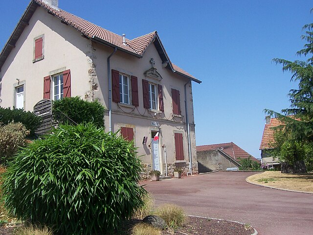
Saint-Romain-sous-Gourdon (Saint-Romain-sous-Gourdon)

- commune in Saône-et-Loire, France
- Country:

- Postal Code: 71230
- Coordinates: 46° 37' 19" N, 4° 24' 14" E


- GPS tracks (wikiloc): [Link]
- Area: 18.78 sq km
- Population: 467
- Web site: https://lapagelocale.fr/71230-saint-romain-sous-gourdon
- Wikipedia en: wiki(en)
- Wikipedia: wiki(fr)
- Wikidata storage: Wikidata: Q1624675
- Wikipedia Commons Category: [Link]
- Wikipedia Commons Maps Category: [Link]
- Freebase ID: [/m/03qh41r]
- GeoNames ID: Alt: [6442461]
- SIREN number: [217104777]
- BnF ID: [152734474]
- INSEE municipality code: 71477
Shares border with regions:


Saint-Vallier
- commune in Saône-et-Loire, France
- Country:
- Postal Code: 71230
- Coordinates: 46° 38' 31" N, 4° 22' 16" E
- GPS tracks (wikiloc): [Link]
- Area: 24.21 sq km
- Population: 8734
- Web site: [Link]

Le Rousset
- former commune in Saône-et-Loire, France
- Country:
- Postal Code: 71220
- Coordinates: 46° 34' 17" N, 4° 27' 51" E
- GPS tracks (wikiloc): [Link]
- Area: 24.74 sq km
- Population: 251


Pouilloux
- commune in Saône-et-Loire, France
- Country:
- Postal Code: 71230
- Coordinates: 46° 36' 28" N, 4° 21' 39" E
- GPS tracks (wikiloc): [Link]
- Area: 18.4 sq km
- Population: 1013


Gourdon
- commune in Saône-et-Loire, France
- Country:
- Postal Code: 71690
- Coordinates: 46° 38' 26" N, 4° 26' 50" E
- GPS tracks (wikiloc): [Link]
- Area: 25.41 sq km
- Population: 921