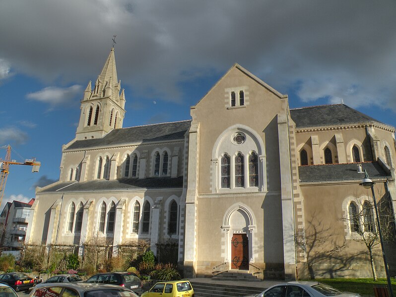
Saint-Sébastien-sur-Loire (Saint-Sébastien-sur-Loire)
- commune in Loire-Atlantique, France
- Country:

- Postal Code: 44230
- Coordinates: 47° 12' 26" N, 1° 30' 9" E


- GPS tracks (wikiloc): [Link]
- Area: 11.66 sq km
- Population: 26371
- Web site: http://www.saintsebastien.fr
- Wikipedia en: wiki(en)
- Wikipedia: wiki(fr)
- Wikidata storage: Wikidata: Q337636
- Wikipedia Commons Category: [Link]
- Freebase ID: [/m/0d4zgj]
- Freebase ID: [/m/0d4zgj]
- GeoNames ID: Alt: [2976984]
- GeoNames ID: Alt: [2976984]
- SIREN number: [214401903]
- SIREN number: [214401903]
- BnF ID: [15260359x]
- BnF ID: [15260359x]
- VIAF ID: Alt: [145105012]
- VIAF ID: Alt: [145105012]
- Library of Congress authority ID: Alt: [n99010588]
- Library of Congress authority ID: Alt: [n99010588]
- MusicBrainz area ID: [0dd70223-b595-4b9e-bbd5-c5e3036740ec]
- MusicBrainz area ID: [0dd70223-b595-4b9e-bbd5-c5e3036740ec]
- SUDOC authorities ID: [029688604]
- SUDOC authorities ID: [029688604]
- Twitter username: Alt: [stsebsurloire]
- Twitter username: Alt: [stsebsurloire]
- YouTube channel ID: [UC8qmM_QcjauGznO0_YJR8dQ]
- YouTube channel ID: [UC8qmM_QcjauGznO0_YJR8dQ]
- INSEE municipality code: 44190
- INSEE municipality code: 44190
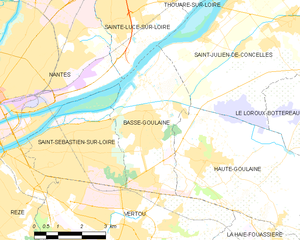
Shares border with regions:


Basse-Goulaine
- commune in Loire-Atlantique, France
- Country:

- Postal Code: 44115
- Coordinates: 47° 12' 42" N, 1° 28' 3" E


- GPS tracks (wikiloc): [Link]
- Area: 13.74 sq km
- Population: 8698
- Web site: [Link]


Nantes
- city in Loire-Atlantique, France
- Country:

- Postal Code: 44300; 44200; 44100; 44000
- Coordinates: 47° 13' 2" N, 1° 33' 14" E


- GPS tracks (wikiloc): [Link]
- AboveSeaLevel: 52 м m
- Area: 65.19 sq km
- Population: 303382
- Web site: [Link]


Vertou
- commune in Loire-Atlantique, France
- Country:

- Postal Code: 44120
- Coordinates: 47° 10' 5" N, 1° 28' 17" E


- GPS tracks (wikiloc): [Link]
- Area: 35.68 sq km
- Population: 23124
- Web site: [Link]
