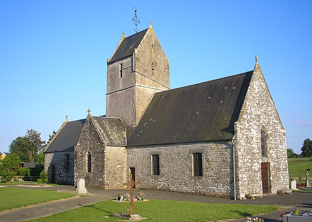
Saint-Sauveur-la-Pommeraye (Saint-Sauveur-la-Pommeraye)

- commune in Manche, France
- Country:

- Postal Code: 50510
- Coordinates: 48° 50' 46" N, 1° 26' 42" E


- GPS tracks (wikiloc): [Link]
- Area: 5.27 sq km
- Population: 346
- Wikipedia en: wiki(en)
- Wikipedia: wiki(fr)
- Wikidata storage: Wikidata: Q1102772
- Wikipedia Commons Category: [Link]
- Freebase ID: [/m/03x_zbt]
- Freebase ID: [/m/03x_zbt]
- GeoNames ID: Alt: [6435645]
- GeoNames ID: Alt: [6435645]
- SIREN number: [215005497]
- SIREN number: [215005497]
- BnF ID: [15262520x]
- BnF ID: [15262520x]
- INSEE municipality code: 50549
- INSEE municipality code: 50549
Shares border with regions:


Saint-Jean-des-Champs
- commune in Manche, France
- Country:
- Postal Code: 50320
- Coordinates: 48° 49' 39" N, 1° 27' 53" E
- GPS tracks (wikiloc): [Link]
- Area: 19.4 sq km
- Population: 1388

Folligny
- commune in Manche, France
- Country:
- Postal Code: 50320
- Coordinates: 48° 49' 26" N, 1° 24' 41" E
- GPS tracks (wikiloc): [Link]
- Area: 11.8 sq km
- Population: 1079

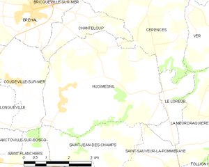
Hudimesnil
- commune in Manche, France
- Country:
- Postal Code: 50510
- Coordinates: 48° 51' 46" N, 1° 29' 33" E
- GPS tracks (wikiloc): [Link]
- Area: 18.68 sq km
- Population: 873


Le Loreur
- commune in Manche, France
- Country:
- Postal Code: 50510
- Coordinates: 48° 52' 10" N, 1° 25' 52" E
- GPS tracks (wikiloc): [Link]
- Area: 3.23 sq km
- Population: 274

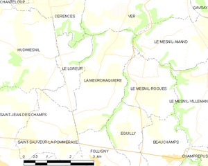
La Meurdraquière
- commune in Manche, France
- Country:
- Postal Code: 50510
- Coordinates: 48° 50' 57" N, 1° 24' 32" E
- GPS tracks (wikiloc): [Link]
- Area: 7.6 sq km
- Population: 168