Saint-Servais (Saint-Servais)

- commune in Finistère, France
- Country:

- Postal Code: 29400
- Coordinates: 48° 30' 40" N, 4° 9' 18" E


- GPS tracks (wikiloc): [Link]
- Area: 10.29 sq km
- Population: 799
- Web site: http://www.saint-servais-29.fr
- Wikipedia en: wiki(en)
- Wikipedia: wiki(fr)
- Wikidata storage: Wikidata: Q632839
- Wikipedia Commons Gallery: [Link]
- Wikipedia Commons Category: [Link]
- Freebase ID: [/m/03gzlwl]
- SIREN number: [212902647]
- BnF ID: [152546047]
- INSEE municipality code: 29264
Shares border with regions:
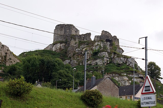

La Roche-Maurice
- commune in Finistère, France
- Country:
- Postal Code: 29800
- Coordinates: 48° 28' 20" N, 4° 12' 12" E
- GPS tracks (wikiloc): [Link]
- Area: 12.04 sq km
- Population: 1882
- Web site: [Link]

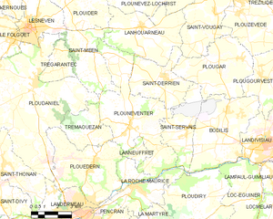
Plounéventer
- commune in Finistère, France
- Country:
- Postal Code: 29400
- Coordinates: 48° 31' 0" N, 4° 13' 0" E
- GPS tracks (wikiloc): [Link]
- Area: 27.28 sq km
- Population: 2107
- Web site: [Link]


Bodilis
- commune in Finistère, France
- Country:
- Postal Code: 29400
- Coordinates: 48° 31' 50" N, 4° 7' 1" E
- GPS tracks (wikiloc): [Link]
- Area: 20.08 sq km
- Population: 1597
- Web site: [Link]


Saint-Derrien
- commune in Finistère, France
- Country:
- Postal Code: 29440
- Coordinates: 48° 33' 0" N, 4° 11' 0" E
- GPS tracks (wikiloc): [Link]
- Area: 12.28 sq km
- Population: 810


Plougar
- commune in Finistère, France
- Country:
- Postal Code: 29440
- Coordinates: 48° 33' 47" N, 4° 8' 30" E
- GPS tracks (wikiloc): [Link]
- Area: 17.48 sq km
- Population: 785
- Web site: [Link]