Saint-Seurin-de-Cursac (Saint-Seurin-de-Cursac)

- commune in Gironde, France
- Country:

- Postal Code: 33390
- Coordinates: 45° 9' 38" N, 0° 37' 39" E


- GPS tracks (wikiloc): [Link]
- Area: 2.36 sq km
- Population: 749
- Web site: http://www.saint-seurin-de-cursac.fr
- Wikipedia en: wiki(en)
- Wikipedia: wiki(fr)
- Wikidata storage: Wikidata: Q187586
- Wikipedia Commons Category: [Link]
- Freebase ID: [/m/03ns21x]
- GeoNames ID: Alt: [6432449]
- SIREN number: [213304777]
- BnF ID: [152565242]
- INSEE municipality code: 33477
Shares border with regions:


Mazion
- commune in Gironde, France
- Country:
- Postal Code: 33390
- Coordinates: 45° 9' 44" N, 0° 36' 52" E
- GPS tracks (wikiloc): [Link]
- Area: 3.71 sq km
- Population: 514

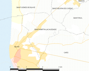
Saint-Martin-Lacaussade
- commune in Gironde, France
- Country:
- Postal Code: 33390
- Coordinates: 45° 8' 49" N, 0° 38' 33" E
- GPS tracks (wikiloc): [Link]
- Area: 3.94 sq km
- Population: 1061

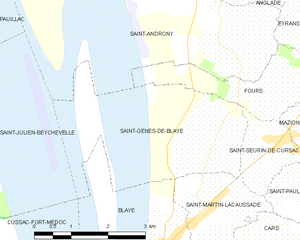
Saint-Genès-de-Blaye
- commune in Gironde, France
- Country:
- Postal Code: 33390
- Coordinates: 45° 9' 43" N, 0° 38' 29" E
- GPS tracks (wikiloc): [Link]
- Area: 7.41 sq km
- Population: 484
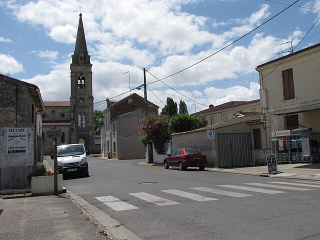
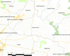
Saint-Paul
- commune in Gironde, France
- Country:
- Postal Code: 33390
- Coordinates: 45° 8' 53" N, 0° 36' 18" E
- GPS tracks (wikiloc): [Link]
- Area: 10.87 sq km
- Population: 926
- Web site: [Link]

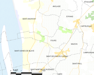
Fours
- commune in Gironde, France
- Country:
- Postal Code: 33390
- Coordinates: 45° 10' 25" N, 0° 37' 45" E
- GPS tracks (wikiloc): [Link]
- Area: 4.64 sq km
- Population: 315