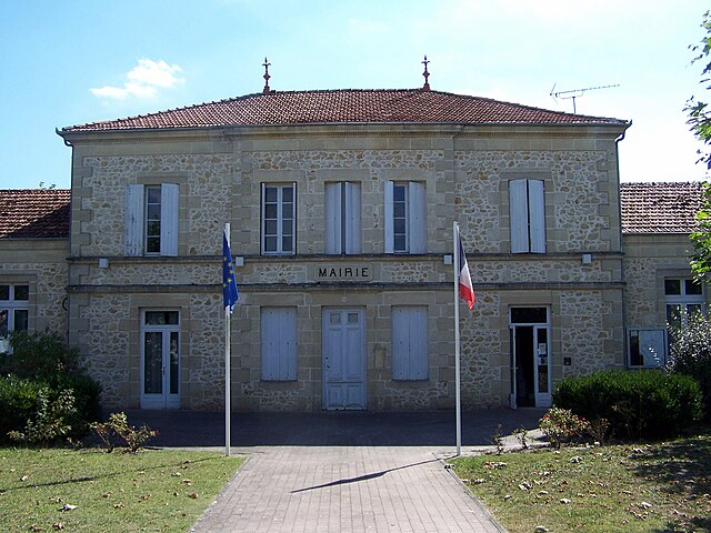
Saint-Symphorien (Saint-Symphorien)

- commune in Gironde, France
- Country:

- Postal Code: 33113
- Coordinates: 44° 25' 41" N, 0° 29' 24" E


- GPS tracks (wikiloc): [Link]
- Area: 106.29 sq km
- Population: 1832
- Web site: http://www.mairie-saint-symphorien-gironde.fr
- Wikipedia en: wiki(en)
- Wikipedia: wiki(fr)
- Wikidata storage: Wikidata: Q864132
- Wikipedia Commons Category: [Link]
- Freebase ID: [/m/03ns249]
- GeoNames ID: Alt: [6432456]
- SIREN number: [213304843]
- BnF ID: [15256531b]
- VIAF ID: Alt: [297018707]
- INSEE municipality code: 33484
Shares border with regions:

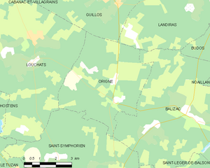
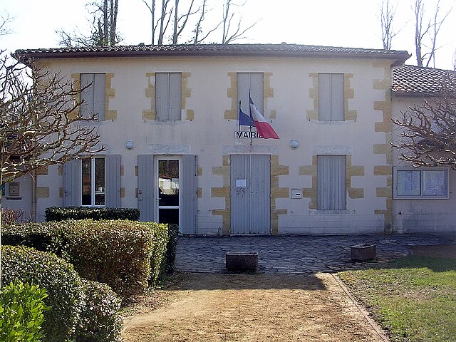
Origne
- commune in Gironde, France
- Country:
- Postal Code: 33113
- Coordinates: 44° 29' 33" N, 0° 30' 7" E
- GPS tracks (wikiloc): [Link]
- Area: 27.19 sq km
- Population: 181
- Web site: [Link]


Le Tuzan
- commune in Gironde, France
- Country:
- Postal Code: 33125
- Coordinates: 44° 27' 1" N, 0° 34' 36" E
- GPS tracks (wikiloc): [Link]
- Area: 18 sq km
- Population: 283

Louchats
- commune in Gironde, France
- Country:
- Postal Code: 33125
- Coordinates: 44° 30' 45" N, 0° 34' 2" E
- GPS tracks (wikiloc): [Link]
- Area: 39.24 sq km
- Population: 727


Sore
- commune in Landes, France
- Country:
- Postal Code: 40430
- Coordinates: 44° 19' 25" N, 0° 34' 52" E
- GPS tracks (wikiloc): [Link]
- Area: 147.72 sq km
- Population: 1090
Mano
- commune in Landes, France
- Country:
- Postal Code: 40410
- Coordinates: 44° 25' 2" N, 0° 40' 19" E
- GPS tracks (wikiloc): [Link]
- Area: 32.27 sq km
- Population: 129


Bourideys
- commune in Gironde, France
- Country:
- Postal Code: 33113
- Coordinates: 44° 22' 5" N, 0° 27' 13" E
- GPS tracks (wikiloc): [Link]
- Area: 48.44 sq km
- Population: 75


Balizac
- commune in Gironde, France
- Country:
- Postal Code: 33730
- Coordinates: 44° 29' 15" N, 0° 26' 39" E
- GPS tracks (wikiloc): [Link]
- Area: 41.78 sq km
- Population: 493


Argelouse
- commune in Landes, France
- Country:
- Postal Code: 40430
- Coordinates: 44° 21' 58" N, 0° 38' 47" E
- GPS tracks (wikiloc): [Link]
- Area: 22.79 sq km
- Population: 85


Saint-Léger-de-Balson
- commune in Gironde, France
- Country:
- Postal Code: 33113
- Coordinates: 44° 25' 55" N, 0° 27' 57" E
- GPS tracks (wikiloc): [Link]
- Area: 38.04 sq km
- Population: 340