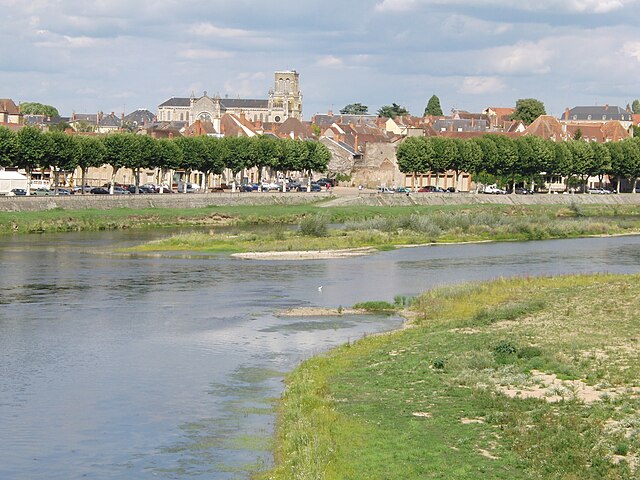
Saint-Vincent-Bragny (Saint-Vincent-Bragny)
- commune in Saône-et-Loire, France
- Country:

- Postal Code: 71430
- Coordinates: 46° 32' 3" N, 4° 7' 30" E


- GPS tracks (wikiloc): [Link]
- AboveSeaLevel: 260 м m
- Area: 41 sq km
- Population: 1014
- Web site: http://www.saint-vincent-bragny.fr
- Wikipedia en: wiki(en)
- Wikipedia: wiki(fr)
- Wikidata storage: Wikidata: Q1625847
- Wikipedia Commons Category: [Link]
- Wikipedia Commons Maps Category: [Link]
- Freebase ID: [/m/03qh466]
- GeoNames ID: Alt: [6617540]
- SIREN number: [217104900]
- BnF ID: [15273460b]
- INSEE municipality code: 71490
Shares border with regions:


Oudry
- commune in Saône-et-Loire, France
- Country:

- Postal Code: 71420
- Coordinates: 46° 34' 31" N, 4° 9' 23" E


- GPS tracks (wikiloc): [Link]
- Area: 20.78 sq km
- Population: 396


Volesvres
- commune in Saône-et-Loire, France
- Country:

- Postal Code: 71600
- Coordinates: 46° 28' 18" N, 4° 9' 35" E


- GPS tracks (wikiloc): [Link]
- Area: 21.53 sq km
- Population: 613
- Web site: [Link]


Rigny-sur-Arroux
- commune in Saône-et-Loire, France
- Country:

- Postal Code: 71160
- Coordinates: 46° 31' 58" N, 4° 1' 40" E


- GPS tracks (wikiloc): [Link]
- Area: 48.17 sq km
- Population: 661
- Web site: [Link]


Saint-Aubin-en-Charollais
- commune in Saône-et-Loire, France
- Country:

- Postal Code: 71430
- Coordinates: 46° 29' 44" N, 4° 12' 58" E


- GPS tracks (wikiloc): [Link]
- Area: 19.61 sq km
- Population: 489


Digoin
- commune in Saône-et-Loire, France
- Country:

- Postal Code: 71160
- Coordinates: 46° 28' 55" N, 3° 58' 50" E


- GPS tracks (wikiloc): [Link]
- Area: 34.72 sq km
- Population: 7908
- Web site: [Link]


Chassy, Saône-et-Loire
- commune in Saône-et-Loire, France
- Country:

- Postal Code: 71130
- Coordinates: 46° 35' 15" N, 4° 6' 46" E


- GPS tracks (wikiloc): [Link]
- AboveSeaLevel: 312 м m
- Area: 13.43 sq km
- Population: 323
- Web site: [Link]


Clessy
- commune in Saône-et-Loire, France
- Country:

- Postal Code: 71130
- Coordinates: 46° 33' 28" N, 4° 5' 12" E


- GPS tracks (wikiloc): [Link]
- Area: 16.99 sq km
- Population: 243
- Web site: [Link]


Saint-Léger-lès-Paray
- commune in Saône-et-Loire, France
- Country:

- Postal Code: 71600
- Coordinates: 46° 28' 24" N, 4° 5' 21" E


- GPS tracks (wikiloc): [Link]
- AboveSeaLevel: 240 м m
- Area: 13.37 sq km
- Population: 706


Palinges
- commune in Saône-et-Loire, France
- Country:

- Postal Code: 71430
- Coordinates: 46° 33' 15" N, 4° 13' 11" E


- GPS tracks (wikiloc): [Link]
- Area: 36.55 sq km
- Population: 1522
