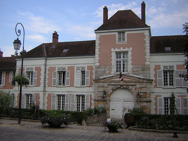
Saint-Vrain (Saint-Vrain)

- commune in Essonne, France
- Country:

- Postal Code: 91770
- Coordinates: 48° 32' 29" N, 2° 20' 5" E


- GPS tracks (wikiloc): [Link]
- Area: 11.57 sq km
- Population: 3060
- Web site: http://www.saint-vrain91.fr
- Wikipedia en: wiki(en)
- Wikipedia: wiki(fr)
- Wikidata storage: Wikidata: Q752277
- Wikipedia Commons Category: [Link]
- Freebase ID: [/m/03mh6wg]
- Freebase ID: [/m/03mh6wg]
- GeoNames ID: Alt: [2976565]
- GeoNames ID: Alt: [2976565]
- SIREN number: [219105798]
- SIREN number: [219105798]
- BnF ID: [15280210q]
- BnF ID: [15280210q]
- INSEE municipality code: 91579
- INSEE municipality code: 91579
Shares border with regions:

Cheptainville
- commune in Essonne, France
- Country:
- Postal Code: 91630
- Coordinates: 48° 33' 0" N, 2° 16' 5" E
- GPS tracks (wikiloc): [Link]
- Area: 7.15 sq km
- Population: 1968
- Web site: [Link]
Lardy
- commune in Essonne, France
- Country:
- Postal Code: 91510
- Coordinates: 48° 31' 20" N, 2° 15' 55" E
- GPS tracks (wikiloc): [Link]
- Area: 7.63 sq km
- Population: 5497
- Web site: [Link]

Leudeville
- commune in Essonne, France
- Country:
- Postal Code: 91630
- Coordinates: 48° 33' 56" N, 2° 19' 34" E
- GPS tracks (wikiloc): [Link]
- Area: 7.84 sq km
- Population: 1446
- Web site: [Link]

Itteville
- commune in Essonne, France
- Country:
- Postal Code: 91760
- Coordinates: 48° 30' 51" N, 2° 20' 31" E
- GPS tracks (wikiloc): [Link]
- Area: 12.2 sq km
- Population: 6676
- Web site: [Link]

Bouray-sur-Juine
- commune in Essonne, France
- Country:
- Postal Code: 91850
- Coordinates: 48° 31' 12" N, 2° 17' 51" E
- GPS tracks (wikiloc): [Link]
- Area: 7.23 sq km
- Population: 2207
- Web site: [Link]

Vert-le-Petit
- commune in Essonne, France
- Country:
- Postal Code: 91710
- Coordinates: 48° 33' 7" N, 2° 22' 1" E
- GPS tracks (wikiloc): [Link]
- Area: 6.83 sq km
- Population: 2781
- Web site: [Link]

Marolles-en-Hurepoix
- commune in Essonne, France
- Country:
- Postal Code: 91630
- Coordinates: 48° 33' 45" N, 2° 17' 54" E
- GPS tracks (wikiloc): [Link]
- Area: 6.47 sq km
- Population: 5212
- Web site: [Link]