Sainte-Croix-du-Verdon (Sainte-Croix-du-Verdon)
- commune in Alpes-de-Haute-Provence, France
 Hiking in Sainte-Croix-du-Verdon
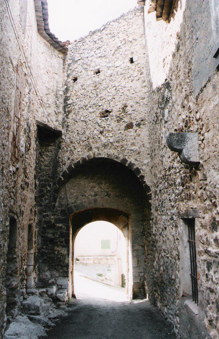
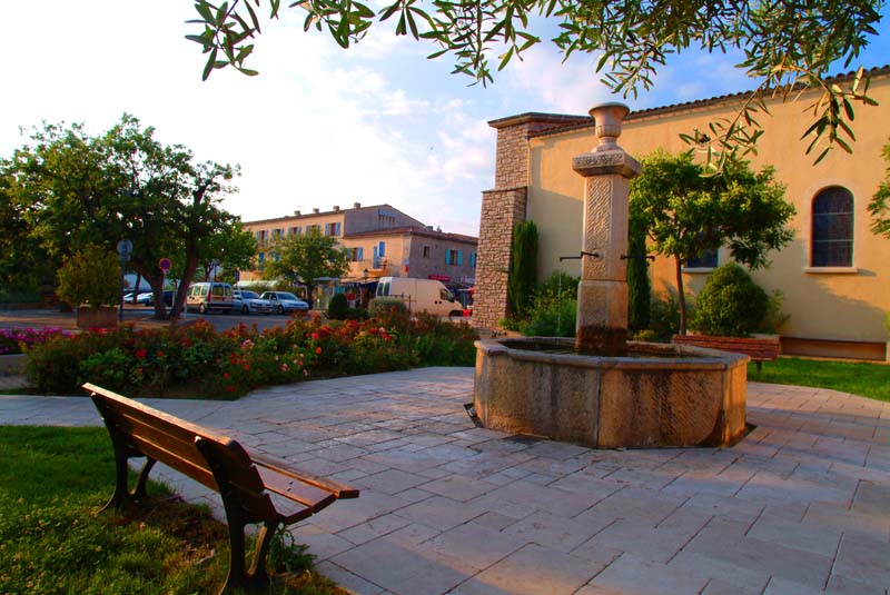
Sainte-Croix-du-Verdon is a picturesque village located in the Provence-Alpes-Côte d'Azur region of France, nestled near the stunning Lake Sainte-Croix. This area is renowned for its beautiful landscapes, offering a range of hiking opportunities that showcase both natural and cultural attractions. Here are some highlights for hiking in and around Sainte-Croix-du-Verdon:
Scenic Trails
-
Sentier des Crêtes: This trail provides breathtaking views of the Verdon Gorge. It’s a moderately challenging hike that takes you along the cliffs, offering panoramic views of the surrounding valleys and the turquoise waters of the Verdon River.
-
Lake Sainte-Croix Trail: Around the lake, there are several easier trails perfect for families and those looking for shorter hikes. These paths allow for a gentle stroll with opportunities for swimming and picnicking by the water.
-
Sentier de l'Imbut: For more adventurous hikers, this trail leads you into the gorge itself. Be prepared for some rugged terrain, and ensure you are equipped with proper gear. The views are spectacular, showcasing dramatic rock formations and the vibrant color of the water.
Flora and Fauna
The region surrounding Sainte-Croix-du-Verdon is rich in biodiversity. While hiking, you may encounter a variety of local wildlife, including birds, deer, and occasionally, wild boars. The flora is equally diverse, comprising Mediterranean shrubs, wildflowers, and aromatic plants like lavender.
Tips for Hiking
- Gear: Wear sturdy hiking boots and bring plenty of water, especially during the hotter months.
- Map and Navigation: While many trails are well-marked, carrying a map or using a navigation app can be helpful, especially for more remote routes.
- Weather: Check the forecast before heading out as conditions can change quickly in mountainous areas.
- Respect Nature: Follow the Leave No Trace principles to preserve the beauty of the environment.
Nearby Attractions
- Gorges du Verdon: Known as the "Grand Canyon of Europe," this stunning gorge offers various activities apart from hiking, including kayaking, rock climbing, and scenic drives.
- Local Culture: Don’t miss the opportunity to explore the charming village of Sainte-Croix-du-Verdon, where you can sample local cuisine and experience traditional Provençal culture.
Hiking in Sainte-Croix-du-Verdon is a rewarding experience, combining stunning landscapes with the tranquility of nature. Whether you're a seasoned hiker or a beginner, there are trails that cater to all levels, making it an excellent destination for outdoor enthusiasts.
- Country:

- Postal Code: 04500
- Coordinates: 43° 45' 32" N, 6° 9' 5" E


- GPS tracks (wikiloc): [Link]
- Area: 13.7 sq km
- Population: 120
- Wikipedia en: wiki(en)
- Wikipedia: wiki(fr)
- Wikidata storage: Wikidata: Q1016914
- Wikipedia Commons Category: [Link]
- Freebase ID: [/m/03m7xc3]
- Freebase ID: [/m/03m7xc3]
- GeoNames ID: Alt: [2980652]
- GeoNames ID: Alt: [2980652]
- SIREN number: [210401766]
- SIREN number: [210401766]
- BnF ID: [135751293]
- BnF ID: [135751293]
- VIAF ID: Alt: [131425219]
- VIAF ID: Alt: [131425219]
- PACTOLS thesaurus ID: [pcrt1HqHTbNvgS]
- PACTOLS thesaurus ID: [pcrt1HqHTbNvgS]
- SUDOC authorities ID: [067075401]
- SUDOC authorities ID: [067075401]
- INSEE municipality code: 04176
- INSEE municipality code: 04176
Shares border with regions:

Montagnac-Montpezat
- commune in Alpes-de-Haute-Provence, France
Montagnac-Montpezat is a charming commune located in the Alpes-de-Haute-Provence department in southeastern France. The area is known for its stunning natural beauty, characterized by rolling hills, vineyards, and picturesque landscapes. Hiking in Montagnac-Montpezat offers a great opportunity to explore this scenic region, whether you're a beginner or an experienced hiker....
- Country:

- Postal Code: 04500
- Coordinates: 43° 46' 45" N, 6° 5' 44" E


- GPS tracks (wikiloc): [Link]
- AboveSeaLevel: 600 м m
- Area: 34.18 sq km
- Population: 422
- Web site: [Link]


Baudinard-sur-Verdon
- commune in Var, France
 Hiking in Baudinard-sur-Verdon
Baudinard-sur-Verdon is a charming village located in the Provence-Alpes-Côte d'Azur region of France, nestled in the picturesque landscape near the Verdon Gorge (Gorges du Verdon). The area is renowned for its stunning natural beauty, making it an excellent destination for hiking enthusiasts....
- Country:

- Postal Code: 83630
- Coordinates: 43° 42' 59" N, 6° 8' 4" E


- GPS tracks (wikiloc): [Link]
- AboveSeaLevel: 650 м m
- Area: 21.97 sq km
- Population: 221
- Web site: [Link]

Moustiers-Sainte-Marie
- commune in Alpes-de-Haute-Provence, France
 Hiking in Moustiers-Sainte-Marie
Moustiers-Sainte-Marie is a beautiful village in the Provence-Alpes-Côte d'Azur region of southeastern France, known for its stunning scenery and outdoor activities, particularly hiking. It’s nestled near the Gorges du Verdon, often referred to as the Grand Canyon of Europe, which offers a plethora of hiking trails ranging from easy strolls to more challenging treks....
- Country:

- Postal Code: 04360
- Coordinates: 43° 50' 51" N, 6° 13' 16" E


- GPS tracks (wikiloc): [Link]
- AboveSeaLevel: 1729 м m
- Area: 87.97 sq km
- Population: 693
- Web site: [Link]


Bauduen
- commune in Var, France
Bauduen is a charming village located on the shores of the stunning Lake Sainte-Croix in the Provence-Alpes-Côte d'Azur region of France. It offers a picturesque setting for hiking enthusiasts, with a variety of trails that cater to different skill levels and preferences....
- Country:

- Postal Code: 83630
- Coordinates: 43° 44' 2" N, 6° 10' 33" E


- GPS tracks (wikiloc): [Link]
- Area: 47.45 sq km
- Population: 316
- Web site: [Link]

Roumoules
- commune in Alpes-de-Haute-Provence, France
Roumoules is a charming village located in the Alpes-de-Haute-Provence region of France. It serves as a great base for outdoor enthusiasts looking to explore the stunning landscapes of this part of Provence....
- Country:

- Postal Code: 04500
- Coordinates: 43° 49' 32" N, 6° 7' 48" E


- GPS tracks (wikiloc): [Link]
- Area: 26.04 sq km
- Population: 746


Les Salles-sur-Verdon
- commune in Var, France
 Hiking in Les Salles-sur-Verdon
Les Salles-sur-Verdon is a picturesque village located in the Var department of southeastern France, known for its proximity to the stunning Gorges du Verdon and the beautiful Lac de Sainte-Croix. Hiking in this area offers a range of landscapes and trails that cater to various skill levels....
- Country:

- Postal Code: 83630
- Coordinates: 43° 46' 27" N, 6° 12' 35" E


- GPS tracks (wikiloc): [Link]
- Area: 4.97 sq km
- Population: 259