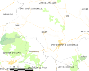
Sainte-Foy (Sainte-Foy)

- commune in Saône-et-Loire, France
- Country:

- Postal Code: 71110
- Coordinates: 46° 16' 40" N, 4° 7' 44" E


- GPS tracks (wikiloc): [Link]
- AboveSeaLevel: 430 м m
- Area: 8.3 sq km
- Population: 133
- Wikipedia en: wiki(en)
- Wikipedia: wiki(fr)
- Wikidata storage: Wikidata: Q1626240
- Wikipedia Commons Category: [Link]
- Wikipedia Commons Maps Category: [Link]
- Freebase ID: [/m/03qh2ql]
- Freebase ID: [/m/03qh2ql]
- GeoNames ID: Alt: [6617535]
- GeoNames ID: Alt: [6617535]
- SIREN number: [217104157]
- SIREN number: [217104157]
- BnF ID: [15273386r]
- BnF ID: [15273386r]
- INSEE municipality code: 71415
- INSEE municipality code: 71415
Shares border with regions:

Briant
- commune in Saône-et-Loire, France
- Country:
- Postal Code: 71110
- Coordinates: 46° 18' 0" N, 4° 8' 55" E
- GPS tracks (wikiloc): [Link]
- Area: 13.31 sq km
- Population: 224


Sarry
- commune in Saône-et-Loire, France
- Country:
- Postal Code: 71110
- Coordinates: 46° 18' 38" N, 4° 6' 57" E
- GPS tracks (wikiloc): [Link]
- AboveSeaLevel: 300 м m
- Area: 9.67 sq km
- Population: 123


Semur-en-Brionnais
- commune in Saône-et-Loire, France
- Country:
- Postal Code: 71110
- Coordinates: 46° 15' 46" N, 4° 5' 27" E
- GPS tracks (wikiloc): [Link]
- Area: 15.56 sq km
- Population: 655
- Web site: [Link]

Saint-Julien-de-Jonzy
- commune in Saône-et-Loire, France
- Country:
- Postal Code: 71110
- Coordinates: 46° 14' 13" N, 4° 8' 33" E
- GPS tracks (wikiloc): [Link]
- AboveSeaLevel: 501 м m
- Area: 22.66 sq km
- Population: 327