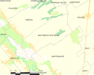
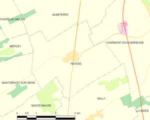
Sainte-Maure (Sainte-Maure)
- commune in Aube, France
- Country:

- Postal Code: 10150
- Coordinates: 48° 20' 41" N, 4° 3' 41" E


- GPS tracks (wikiloc): [Link]
- Area: 20.92 sq km
- Population: 1548
- Wikipedia en: wiki(en)
- Wikipedia: wiki(fr)
- Wikidata storage: Wikidata: Q975095
- Wikipedia Commons Category: [Link]
- Freebase ID: [/m/03m8vmj]
- GeoNames ID: Alt: [6426564]
- SIREN number: [211003413]
- BnF ID: [152464446]
- VIAF ID: Alt: [241899040]
- INSEE municipality code: 10352
Shares border with regions:


Barberey-Saint-Sulpice
- commune in Aube, France
- Country:

- Postal Code: 10600
- Coordinates: 48° 20' 16" N, 4° 1' 55" E


- GPS tracks (wikiloc): [Link]
- Area: 9.36 sq km
- Population: 1376
- Web site: [Link]


Lavau
- commune in Aube, France
- Country:

- Postal Code: 10150
- Coordinates: 48° 19' 30" N, 4° 5' 12" E


- GPS tracks (wikiloc): [Link]
- Area: 5.74 sq km
- Population: 989


Saint-Benoît-sur-Seine
- commune in Aube, France
- Country:

- Postal Code: 10600
- Coordinates: 48° 22' 11" N, 4° 1' 46" E


- GPS tracks (wikiloc): [Link]
- Area: 11.78 sq km
- Population: 412


Saint-Lyé
- commune in Aube, France
- Country:

- Postal Code: 10600
- Coordinates: 48° 21' 49" N, 4° 0' 5" E


- GPS tracks (wikiloc): [Link]
- Area: 32.7 sq km
- Population: 2935


La Chapelle-Saint-Luc
- commune in Aube, France
- Country:

- Postal Code: 10600
- Coordinates: 48° 18' 43" N, 4° 2' 40" E


- GPS tracks (wikiloc): [Link]
- AboveSeaLevel: 100 м m
- Area: 10.48 sq km
- Population: 12471
- Web site: [Link]


Feuges
- commune in Aube, France
- Country:

- Postal Code: 10150
- Coordinates: 48° 23' 51" N, 4° 6' 36" E


- GPS tracks (wikiloc): [Link]
- Area: 10.99 sq km
- Population: 326
- Web site: [Link]


Vailly
- commune in Aube, France
- Country:

- Postal Code: 10150
- Coordinates: 48° 22' 10" N, 4° 7' 19" E


- GPS tracks (wikiloc): [Link]
- Area: 11.25 sq km
- Population: 292
