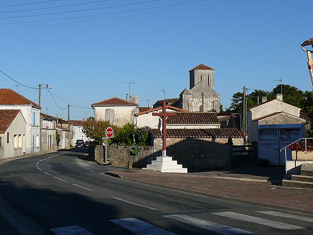
Sainte-Radegonde (Sainte-Radegonde)

- commune in Charente-Maritime, France
- Country:

- Postal Code: 17250
- Coordinates: 45° 50' 48" N, 0° 52' 28" E


- GPS tracks (wikiloc): [Link]
- Area: 11.14 sq km
- Population: 573
- Wikipedia en: wiki(en)
- Wikipedia: wiki(fr)
- Wikidata storage: Wikidata: Q1088097
- Wikipedia Commons Category: [Link]
- Freebase ID: [/m/03mcppl]
- GeoNames ID: Alt: [6616025]
- SIREN number: [211703897]
- BnF ID: [152492509]
- INSEE municipality code: 17389
Shares border with regions:

Champagne
- commune in Charente-Maritime, France
- Country:
- Postal Code: 17620
- Coordinates: 45° 49' 52" N, 0° 54' 29" E
- GPS tracks (wikiloc): [Link]
- Area: 19.53 sq km
- Population: 604


Beurlay
- commune in Charente-Maritime, France
- Country:
- Postal Code: 17250
- Coordinates: 45° 51' 37" N, 0° 50' 13" E
- GPS tracks (wikiloc): [Link]
- AboveSeaLevel: 23 м m
- Area: 9.71 sq km
- Population: 1030
- Web site: [Link]


Trizay
- commune in Charente-Maritime, France
- Country:
- Postal Code: 17250
- Coordinates: 45° 52' 57" N, 0° 53' 48" E
- GPS tracks (wikiloc): [Link]
- Area: 14.13 sq km
- Population: 1492
- Web site: [Link]


Pont-l'Abbé-d'Arnoult
- commune in Charente-Maritime, France
- Country:
- Postal Code: 17250
- Coordinates: 45° 49' 40" N, 0° 52' 31" E
- GPS tracks (wikiloc): [Link]
- Area: 12.41 sq km
- Population: 1806