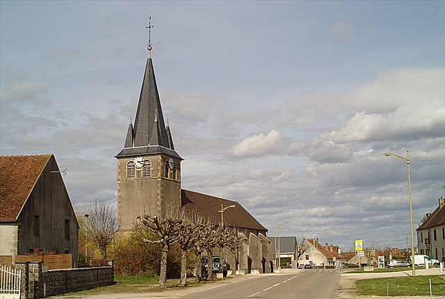
Samerey (Samerey)

- commune in Côte-d'Or, France
- Country:

- Postal Code: 21170
- Coordinates: 47° 5' 24" N, 5° 21' 38" E


- GPS tracks (wikiloc): [Link]
- Area: 7.02 sq km
- Population: 156
- Web site: http://www.mairie-samerey.fr
- Wikipedia en: wiki(en)
- Wikipedia: wiki(fr)
- Wikidata storage: Wikidata: Q16838
- Wikipedia Commons Category: [Link]
- Freebase ID: [/m/03mfwdv]
- GeoNames ID: Alt: [2976290]
- SIREN number: [212105811]
- BnF ID: [152508682]
- INSEE municipality code: 21581
Shares border with regions:

Laperrière-sur-Saône
- commune in Côte-d'Or, France
- Country:
- Postal Code: 21170
- Coordinates: 47° 6' 42" N, 5° 20' 29" E
- GPS tracks (wikiloc): [Link]
- Area: 11.17 sq km
- Population: 425
- Web site: [Link]
Saint-Seine-en-Bâche
- commune in Côte-d'Or, France
- Country:
- Postal Code: 21130
- Coordinates: 47° 7' 12" N, 5° 22' 15" E
- GPS tracks (wikiloc): [Link]
- Area: 8.38 sq km
- Population: 382


Saint-Symphorien-sur-Saône
- commune in Côte-d'Or, France
- Country:
- Postal Code: 21170
- Coordinates: 47° 6' 9" N, 5° 18' 14" E
- GPS tracks (wikiloc): [Link]
- Area: 7.9 sq km
- Population: 359
- Web site: [Link]


Abergement-la-Ronce
- commune in Jura, France
- Country:
- Postal Code: 39500
- Coordinates: 47° 4' 12" N, 5° 22' 9" E
- GPS tracks (wikiloc): [Link]
- Area: 7.12 sq km
- Population: 827
- Web site: [Link]


Damparis
- commune in Jura, France
- Country:
- Postal Code: 39500
- Coordinates: 47° 4' 27" N, 5° 24' 47" E
- GPS tracks (wikiloc): [Link]
- Area: 8.85 sq km
- Population: 2722
- Web site: [Link]


Champvans
- commune in Jura, France
- Country:
- Postal Code: 39100
- Coordinates: 47° 6' 18" N, 5° 26' 8" E
- GPS tracks (wikiloc): [Link]
- AboveSeaLevel: 222 м m
- Area: 14.22 sq km
- Population: 1390