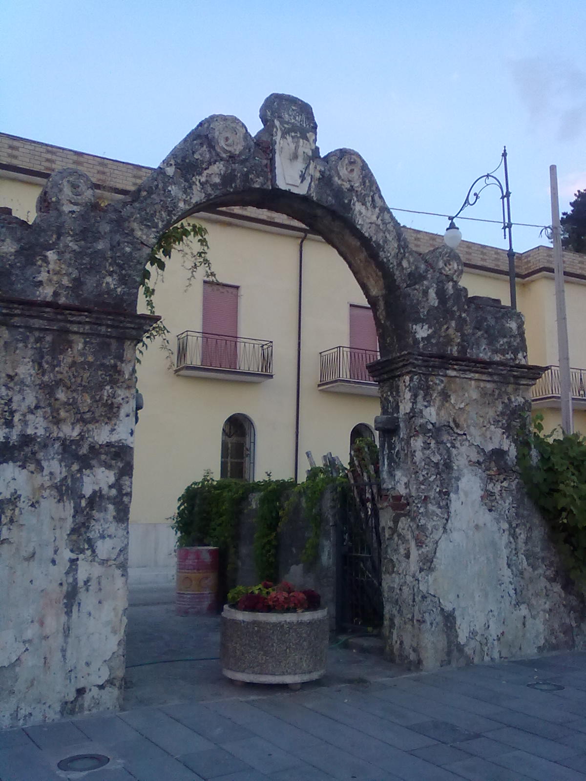
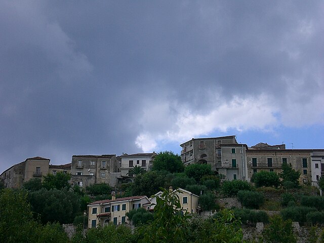
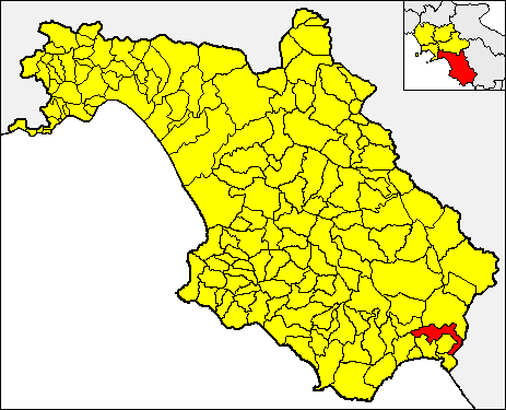
Santa Marina (Santa Marina)

- Italian comune in Campania
 Hiking in Santa Marina
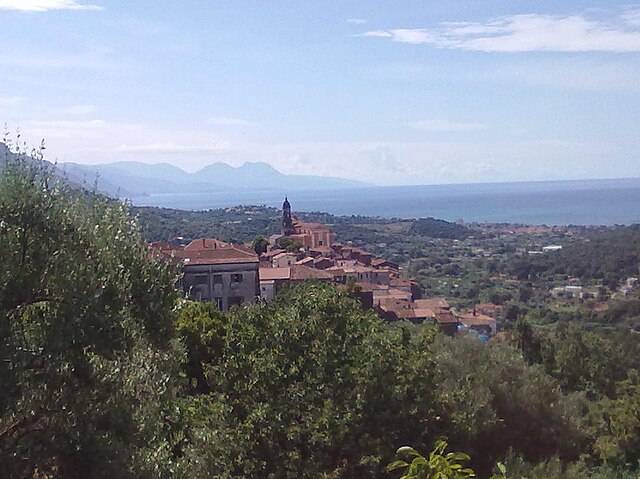
Santa Marina is a small town located in the Campania region of Italy, near the Amalfi Coast, and it offers a unique blend of beautiful landscapes, coastal views, and local culture—ideal for hiking enthusiasts. Here are some highlights and considerations for hiking in this area:
Trails and Natural Beauty
-
Cilento and Vallo di Diano National Park: The nearby national park features numerous hiking trails that showcase the diverse landscape of mountains, hills, and the stunning coastline. Trails range from easy walks to more challenging hikes.
-
Coastal Paths: The proximity to the sea allows for picturesque coastal hikes. Some trails offer panoramic views of the Tyrrhenian Sea and can lead to secluded beaches or charming coastal villages.
-
Local Flora and Fauna: The area's biodiversity is rich, with a variety of plant species, as well as opportunities to spot local wildlife, such as birds and other animals native to the Mediterranean region.
Popular Hiking Routes
-
Sentiero degli Dei (Path of the Gods): Although it’s not in Santa Marina directly, this famous hike nearby offers some of the most spectacular views in Campania. It connects the villages of Bomerano and Nocelle and provides breathtaking vistas of the Amalfi Coast.
-
Marina di Camerota to Cala Bianca: This trail leads hikers along the scenic coastline from Marina di Camerota to Cala Bianca, known for its stunning white cliffs and crystal-clear waters.
Practical Tips
-
Weather Considerations: Always check the weather before heading out. The best times to hike in this region are spring (April-June) and fall (September-October) when temperatures are mild.
-
Footwear and Gear: Wear sturdy, comfortable hiking shoes and bring plenty of water, sunscreen, and snacks. A hat and sunglasses are also recommended for sun protection.
-
Guided Hikes: If you're unfamiliar with the area, consider joining a guided hike. Local guides can provide insights into the flora, fauna, and history of the region.
-
Respect Nature: As with any hiking area, be sure to follow Leave No Trace principles. Stay on marked trails, dispose of waste properly, and respect wildlife.
Hiking in Santa Marina, Campania provides a beautiful backdrop of natural wonders and cultural heritage. Whether you’re a novice or an experienced hiker, there are options available to make your hiking experience enjoyable and memorable.
- Country:

- Postal Code: 84070; 84067
- Local Dialing Code: 0974
- Licence Plate Code: SA
- Coordinates: 40° 6' 0" N, 15° 33' 0" E


- GPS tracks (wikiloc): [Link]
- AboveSeaLevel: 415 м m
- Area: 28.36 sq km
- Population: 3237
- Web site: http://www.comune.santarcangelo.pz.it
- Wikipedia en: wiki(en)
- Wikipedia: wiki(it)
- Wikidata storage: Wikidata: Q81628
- Wikipedia Commons Category: [Link]
- Freebase ID: [/m/0frgz8]
- GeoNames ID: Alt: [6539820]
- OSM relation ID: [40248]
- ISTAT ID: 065127
- Italian cadastre code: I253
Shares border with regions:

Ispani
- Italian comune
Hiking in Ispani
Ispani is a lesser-known gem located in the southern part of Italy, specifically in the Campania region. While it may not be as famous as some major hiking destinations, it offers beautiful scenic landscapes and a taste of authentic Italian nature. Here are some key points to consider if you're thinking about hiking in this area:...
- Country:
- Postal Code: 84040; 84050
- Local Dialing Code: 0973
- Licence Plate Code: SA
- Coordinates: 40° 5' 0" N, 15° 34' 0" E
- GPS tracks (wikiloc): [Link]
- AboveSeaLevel: 256 м m
- Area: 8.34 sq km
- Population: 983
- Web site: [Link]


Morigerati
- Italian comune
Hiking in Morigerati
Morigerati, a charming town in the Campania region of Italy, is nestled within the breathtaking landscapes of the Cilento and Vallo di Diano National Park. This area is known for its stunning natural beauty, rich biodiversity, and historical significance, making it a fantastic destination for hiking enthusiasts....
- Country:
- Postal Code: 84030
- Local Dialing Code: 0974
- Licence Plate Code: SA
- Coordinates: 40° 8' 0" N, 15° 33' 0" E
- GPS tracks (wikiloc): [Link]
- AboveSeaLevel: 281 м m
- Area: 21.19 sq km
- Population: 653
- Web site: [Link]


San Giovanni a Piro
- Italian comune
Hiking in San Giovanni a Piro
San Giovanni a Piro is a picturesque town located in the Campania region of Italy, near the Cilento National Park. It offers a range of hiking opportunities that allow you to explore its stunning natural landscapes, coastal views, and rich biodiversity....
- Country:
- Postal Code: 84070
- Local Dialing Code: 0974
- Licence Plate Code: SA
- Coordinates: 40° 3' 0" N, 15° 26' 0" E
- GPS tracks (wikiloc): [Link]
- AboveSeaLevel: 450 м m
- Area: 37.9 sq km
- Population: 3763
- Web site: [Link]
Torre Orsaia
- Italian comune
Hiking in Torre Orsaia
Torre Orsaia, located in the Campania region of southern Italy, is a hidden gem nestled in the stunning scenery of the Cilento and Vallo di Diano National Park. This area is known for its rich biodiversity, rugged terrain, and diverse hiking opportunities, making it an excellent destination for outdoor enthusiasts....
- Country:
- Postal Code: 84077
- Local Dialing Code: 0974
- Licence Plate Code: SA
- Coordinates: 40° 8' 0" N, 15° 28' 0" E
- GPS tracks (wikiloc): [Link]
- AboveSeaLevel: 295 м m
- Area: 21.03 sq km
- Population: 2082
- Web site: [Link]
Tortorella
- Italian comune
Hiking in Tortorella
Tortorella is a charming village located in the province of Salerno, in the Campania region of Italy. It's nestled in the beautiful landscapes of the Cilento and Vallo di Diano National Park, which offers a plethora of hiking opportunities. Here’s a guide to help you explore the hiking potential in and around Tortorella:...
- Country:
- Postal Code: 84030
- Local Dialing Code: 0973
- Licence Plate Code: SA
- Coordinates: 40° 8' 0" N, 15° 36' 0" E
- GPS tracks (wikiloc): [Link]
- AboveSeaLevel: 582 м m
- Area: 34.22 sq km
- Population: 506
- Web site: [Link]

Vibonati
- Italian comune
Hiking in Vibonati
Vibonati, a charming coastal town located in the Cilento region of Italy, offers a variety of hiking opportunities that showcase the region’s stunning natural beauty, rich history, and diverse ecosystems. Here are some highlights to consider when planning a hiking trip in and around Vibonati:...
- Country:
- Postal Code: 84079
- Local Dialing Code: 0973
- Licence Plate Code: SA
- Coordinates: 40° 6' 0" N, 15° 35' 0" E
- GPS tracks (wikiloc): [Link]
- AboveSeaLevel: 110 м m
- Area: 20.54 sq km
- Population: 3321
- Web site: [Link]