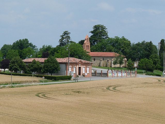
Saussens (Saussens)

- commune in Haute-Garonne, France
- Country:

- Postal Code: 31460
- Coordinates: 43° 35' 16" N, 1° 43' 20" E


- GPS tracks (wikiloc): [Link]
- Area: 3.02 sq km
- Population: 203
- Wikipedia en: wiki(en)
- Wikipedia: wiki(fr)
- Wikidata storage: Wikidata: Q1143755
- Wikipedia Commons Category: [Link]
- Freebase ID: [/m/03nt641]
- Freebase ID: [/m/03nt641]
- GeoNames ID: Alt: [6431842]
- GeoNames ID: Alt: [6431842]
- SIREN number: [213105349]
- SIREN number: [213105349]
- BnF ID: [15255529j]
- BnF ID: [15255529j]
- INSEE municipality code: 31534
- INSEE municipality code: 31534
Shares border with regions:

Prunet
- commune in Haute-Garonne, France
- Country:
- Postal Code: 31460
- Coordinates: 43° 34' 6" N, 1° 43' 50" E
- GPS tracks (wikiloc): [Link]
- Area: 4.66 sq km
- Population: 147
Bannières
- commune in Tarn, France
- Country:
- Postal Code: 81500
- Coordinates: 43° 37' 31" N, 1° 45' 5" E
- GPS tracks (wikiloc): [Link]
- Area: 7.31 sq km
- Population: 209
- Web site: [Link]


Francarville
- commune in Haute-Garonne, France
- Country:
- Postal Code: 31460
- Coordinates: 43° 35' 6" N, 1° 45' 1" E
- GPS tracks (wikiloc): [Link]
- Area: 7 sq km
- Population: 181


Lanta
- commune in Haute-Garonne, France
- Country:
- Postal Code: 31570
- Coordinates: 43° 33' 35" N, 1° 39' 18" E
- GPS tracks (wikiloc): [Link]
- Area: 30.12 sq km
- Population: 1937
- Web site: [Link]


Bourg-Saint-Bernard
- commune in Haute-Garonne, France
- Country:
- Postal Code: 31570
- Coordinates: 43° 36' 8" N, 1° 42' 46" E
- GPS tracks (wikiloc): [Link]
- Area: 16.6 sq km
- Population: 1002
- Web site: [Link]


Montcabrier
- commune in Tarn, France
- Country:
- Postal Code: 81500
- Coordinates: 43° 37' 37" N, 1° 43' 48" E
- GPS tracks (wikiloc): [Link]
- AboveSeaLevel: 285 м m
- Area: 5.43 sq km
- Population: 283