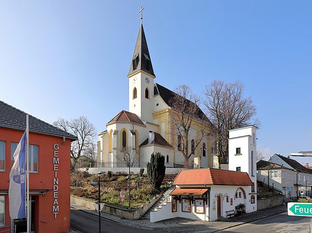
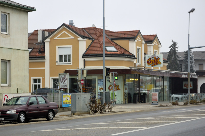
Schönkirchen-Reyersdorf (Schönkirchen-Reyersdorf)
- municipality in Austria
 Hiking in Schönkirchen-Reyersdorf
Schönkirchen-Reyersdorf, located near Vienna, Austria, offers various opportunities for outdoor enthusiasts, including hiking. While it's a small district, its proximity to the scenic landscapes of the region provides hikers with beautiful trails and natural scenery.
Hiking Options:
-
Local Trails: Explore the local paths and trails that may be less crowded, allowing for a peaceful experience in nature. The area features a mix of farmland, forests, and meadows.
-
Nearby Nature Reserves: Look for nearby natural parks or reserves, where hiking paths are often well-marked, and you can find informative signs about the local wildlife and flora.
-
The Vienna Woods: A bit further afield, the Vienna Woods (Wienerwald) offer extensive hiking opportunities with varied terrain. Trails range from easy walks to more challenging hikes, and many routes provide stunning views over the valley and countryside.
-
Cycling Paths: If you're interested in extending your hike, consider combining walking and cycling. Many hiking trails in the region also cater to cyclists.
Preparation Tips:
- Check Weather Conditions: Weather can change quickly, so always check forecasts before heading out.
- Trail Maps: Familiarize yourself with trail maps and local guides to ensure you stay on course.
- Safety Gear: Bring necessary hiking gear such as sturdy footwear, water, and snacks. A first-aid kit is also a good idea.
Best Time to Hike:
The best times for hiking in and around Schönkirchen-Reyersdorf are typically in the spring and fall when the weather is mild, and the scenery is particularly beautiful due to blooming flowers or autumn foliage.
Conclusion:
While Schönkirchen-Reyersdorf may not have extensive hiking infrastructure, its location allows for access to various hiking opportunities in beautiful surroundings. Whether you're looking for a casual stroll or a more vigorous hike, the area can cater to a range of hiking preferences. Enjoy your time exploring the natural beauty of this region!
- Country:

- Postal Code: 2241
- Local Dialing Code: 02282
- Licence Plate Code: GF
- Coordinates: 48° 21' 0" N, 16° 42' 0" E


- GPS tracks (wikiloc): [Link]
- AboveSeaLevel: 161 м m
- Area: 17.88 sq km
- Population: 1963
- Web site: http://www.schoenkirchen-reyersdorf.at
- Wikipedia en: wiki(en)
- Wikipedia: wiki(de)
- Wikidata storage: Wikidata: Q668301
- Wikipedia Commons Category: [Link]
- Freebase ID: [/m/02qtx_j]
- GeoNames ID: Alt: [7871743]
- VIAF ID: Alt: [139219408]
- Library of Congress authority ID: Alt: [no00068214]
- Austrian municipality key: [30852]
Shares border with regions:

Gänserndorf
- city in Lower Austria
Gänserndorf, located in Lower Austria, offers a variety of hiking opportunities that allow you to experience the beautiful landscapes of the region. While it may not be as well-known as some larger national parks or mountainous areas, there are still plenty of trails and natural sights to explore in and around Gänserndorf....
- Country:

- Postal Code: 2230
- Local Dialing Code: 02282
- Licence Plate Code: GF
- Coordinates: 48° 20' 26" N, 16° 43' 3" E


- GPS tracks (wikiloc): [Link]
- AboveSeaLevel: 167 м m
- Area: 30.56 sq km
- Population: 11404
- Web site: [Link]

Auersthal
- municipality in Austria
Auersthal, located in Lower Austria, offers a quaint setting for outdoor enthusiasts who enjoy hiking. The region is nestled amidst beautiful landscapes, featuring rolling hills, vineyards, and picturesque views that are characteristic of the broader area....
- Country:

- Postal Code: 2214
- Local Dialing Code: 02288
- Licence Plate Code: GF
- Coordinates: 48° 22' 27" N, 16° 38' 10" E


- GPS tracks (wikiloc): [Link]
- AboveSeaLevel: 178 м m
- Area: 15.18 sq km
- Population: 1932
- Web site: [Link]

Strasshof an der Nordbahn
- municipality in Austria
 Hiking in Strasshof an der Nordbahn
Strasshof an der Nordbahn is a small town located north of Vienna, Austria, and while it may not be as famous as other hiking destinations, there is still potential for enjoyable outdoor activities in the surrounding areas....
- Country:

- Postal Code: 2231
- Local Dialing Code: 02587
- Licence Plate Code: GF
- Coordinates: 48° 19' 10" N, 16° 38' 51" E


- GPS tracks (wikiloc): [Link]
- AboveSeaLevel: 165 м m
- Area: 11.63 sq km
- Population: 10009
- Web site: [Link]

Prottes
- municipality in Austria
Prottes, a quaint village located in the northeastern part of Austria, offers a range of charming hiking opportunities amidst picturesque landscapes. While not as widely known as other hiking destinations, it provides a unique experience for those looking to explore the natural beauty of the region....
- Country:

- Postal Code: 2242
- Local Dialing Code: 02282
- Licence Plate Code: GF
- Coordinates: 48° 23' 0" N, 16° 44' 0" E


- GPS tracks (wikiloc): [Link]
- AboveSeaLevel: 162 м m
- Area: 13.7 sq km
- Population: 1436
- Web site: [Link]
Matzen-Raggendorf
- municipality in Austria
Matzen-Raggendorf, located in Lower Austria, is a beautiful area for hiking, surrounded by picturesque landscapes, rolling hills, and lush forests. Here’s what you need to know about hiking in this region:...
- Country:

- Postal Code: 2243
- Local Dialing Code: 02289
- Licence Plate Code: GF
- Coordinates: 48° 24' 0" N, 16° 42' 0" E


- GPS tracks (wikiloc): [Link]
- AboveSeaLevel: 189 м m
- Area: 35.59 sq km
- Population: 2794
- Web site: [Link]