Semussac (Semussac)

- commune in Charente-Maritime, France
- Country:

- Postal Code: 17120
- Coordinates: 45° 36' 0" N, 0° 54' 45" E


- GPS tracks (wikiloc): [Link]
- Area: 24.85 sq km
- Population: 2337
- Web site: http://www.semussac.fr
- Wikipedia en: wiki(en)
- Wikipedia: wiki(fr)
- Wikidata storage: Wikidata: Q1439071
- Wikipedia Commons Category: [Link]
- Freebase ID: [/m/03mcksr]
- GeoNames ID: Alt: [2975140]
- SIREN number: [211704259]
- BnF ID: [15249285z]
- PACTOLS thesaurus ID: [pcrt1cTwmKgXHR]
- INSEE municipality code: 17425
Shares border with regions:


Médis
- commune in Charente-Maritime, France
- Country:
- Postal Code: 17600
- Coordinates: 45° 38' 33" N, 0° 57' 58" E
- GPS tracks (wikiloc): [Link]
- Area: 23.46 sq km
- Population: 2849
- Web site: [Link]

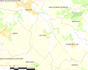
Le Chay
- commune in Charente-Maritime, France
- Country:
- Postal Code: 17600
- Coordinates: 45° 38' 29" N, 0° 53' 50" E
- GPS tracks (wikiloc): [Link]
- Area: 12.01 sq km
- Population: 763


Grézac
- commune in Charente-Maritime, France
- Country:
- Postal Code: 17120
- Coordinates: 45° 36' 14" N, 0° 50' 28" E
- GPS tracks (wikiloc): [Link]
- AboveSeaLevel: 28 м m
- Area: 20.06 sq km
- Population: 914


Corme-Écluse
- commune in Charente-Maritime, France
- Country:
- Postal Code: 17600
- Coordinates: 45° 37' 52" N, 0° 51' 16" E
- GPS tracks (wikiloc): [Link]
- Area: 17.49 sq km
- Population: 1100


Cozes
- commune in Charente-Maritime, France
- Country:
- Postal Code: 17120
- Coordinates: 45° 35' 0" N, 0° 49' 54" E
- GPS tracks (wikiloc): [Link]
- Area: 16.56 sq km
- Population: 2130
- Web site: [Link]

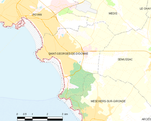
Saint-Georges-de-Didonne
- commune in, France
- Country:
- Postal Code: 17110
- Coordinates: 45° 36' 19" N, 0° 59' 55" E
- GPS tracks (wikiloc): [Link]
- Area: 10.58 sq km
- Population: 5268
- Web site: [Link]

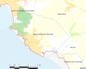
Meschers-sur-Gironde
- commune in Charente-Maritime, France
- Country:
- Postal Code: 17132
- Coordinates: 45° 33' 27" N, 0° 57' 14" E
- GPS tracks (wikiloc): [Link]
- Area: 15.98 sq km
- Population: 3087
- Web site: [Link]


Arces
- commune in Charente-Maritime, France
- Country:
- Postal Code: 17120
- Coordinates: 45° 33' 11" N, 0° 51' 35" E
- GPS tracks (wikiloc): [Link]
- Area: 21.74 sq km
- Population: 734
- Web site: [Link]