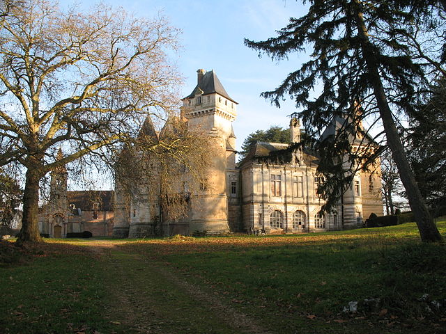
Sercy (Sercy)

- commune in Saône-et-Loire, France
- Country:

- Postal Code: 71460
- Coordinates: 46° 36' 15" N, 4° 41' 9" E


- GPS tracks (wikiloc): [Link]
- Area: 5.8 sq km
- Population: 95
- Web site: http://www.sercy.fr
- Wikipedia en: wiki(en)
- Wikipedia: wiki(fr)
- Wikidata storage: Wikidata: Q960620
- Wikipedia Commons Category: [Link]
- Wikipedia Commons Maps Category: [Link]
- Freebase ID: [/m/03qh6wh]
- GeoNames ID: Alt: [6442490]
- SIREN number: [217105154]
- BnF ID: [15273485p]
- PACTOLS thesaurus ID: [pcrt21jKhLSlf9]
- INSEE municipality code: 71515
Shares border with regions:


La Chapelle-de-Bragny
- commune in Saône-et-Loire, France
- Country:
- Postal Code: 71240
- Coordinates: 46° 38' 0" N, 4° 45' 58" E
- GPS tracks (wikiloc): [Link]
- Area: 15.87 sq km
- Population: 255
- Web site: [Link]

Bresse-sur-Grosne
- commune in Saône-et-Loire, France
- Country:
- Postal Code: 71460
- Coordinates: 46° 35' 31" N, 4° 43' 55" E
- GPS tracks (wikiloc): [Link]
- Area: 10.02 sq km
- Population: 188
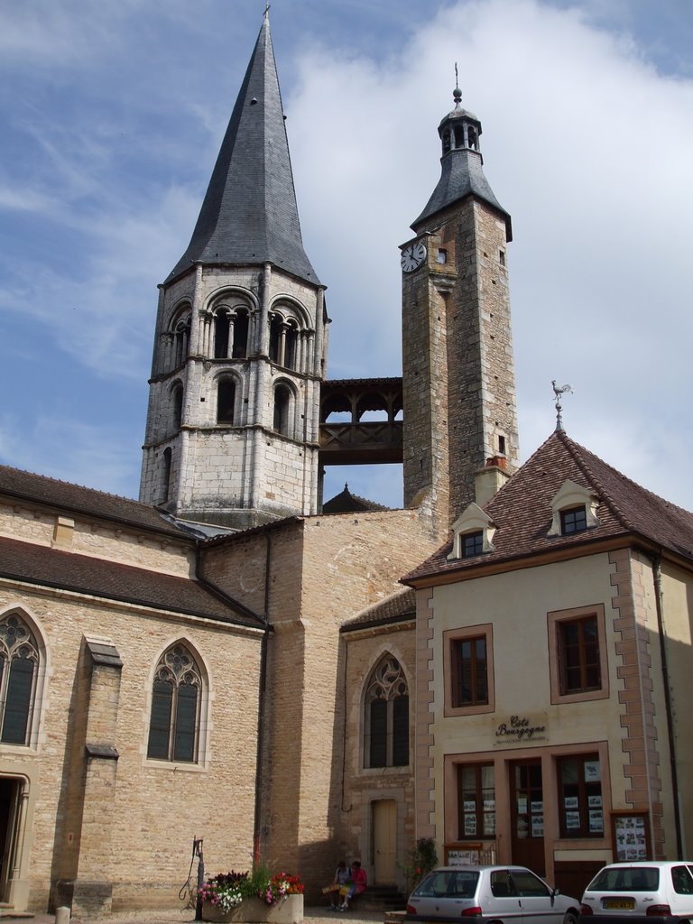

Saint-Gengoux-le-National
- commune in Saône-et-Loire, France
- Country:
- Postal Code: 71460
- Coordinates: 46° 36' 50" N, 4° 39' 48" E
- GPS tracks (wikiloc): [Link]
- Area: 9.36 sq km
- Population: 1041


Malay, Saône-et-Loire
- commune in Saône-et-Loire, France
- Country:
- Postal Code: 71460
- Coordinates: 46° 33' 59" N, 4° 40' 54" E
- GPS tracks (wikiloc): [Link]
- Area: 12.14 sq km
- Population: 224


Santilly, Saône-et-Loire
- commune in Saône-et-Loire, France
- Country:
- Postal Code: 71460
- Coordinates: 46° 36' 53" N, 4° 41' 41" E
- GPS tracks (wikiloc): [Link]
- Area: 7.22 sq km
- Population: 138