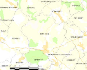
Songeons (Songeons)
- commune in Oise, France
- Country:

- Postal Code: 60380
- Coordinates: 49° 32' 57" N, 1° 51' 11" E


- GPS tracks (wikiloc): [Link]
- Area: 13.53 sq km
- Population: 1070
- Web site: https://www.songeons.fr/
- Wikipedia en: wiki(en)
- Wikipedia: wiki(fr)
- Wikidata storage: Wikidata: Q548190
- Wikipedia Commons Category: [Link]
- Freebase ID: [/m/03qg8bv]
- GeoNames ID: Alt: [2974257]
- SIREN number: [216006148]
- BnF ID: [15267856z]
- VIAF ID: Alt: [235650484]
- PACTOLS thesaurus ID: [pcrtrmri1rAUn2]
- Pleiades ID: [109349]
- INSEE municipality code: 60623
Shares border with regions:


Lachapelle-sous-Gerberoy
- commune in Oise, France
- Country:

- Postal Code: 60380
- Coordinates: 49° 32' 6" N, 1° 52' 8" E


- GPS tracks (wikiloc): [Link]
- Area: 4.93 sq km
- Population: 147
Escames
- commune in Oise, France
- Country:

- Postal Code: 60380
- Coordinates: 49° 33' 12" N, 1° 48' 2" E


- GPS tracks (wikiloc): [Link]
- Area: 11.68 sq km
- Population: 216


Grémévillers
- commune in Oise, France
- Country:

- Postal Code: 60380
- Coordinates: 49° 33' 51" N, 1° 53' 46" E


- GPS tracks (wikiloc): [Link]
- Area: 6.85 sq km
- Population: 450
- Web site: [Link]


Loueuse
- commune in Oise, France
- Country:

- Postal Code: 60380
- Coordinates: 49° 35' 56" N, 1° 49' 31" E


- GPS tracks (wikiloc): [Link]
- Area: 7.32 sq km
- Population: 147


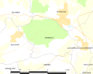
Gerberoy
- commune in Oise, France
- Country:

- Postal Code: 60380
- Coordinates: 49° 32' 3" N, 1° 50' 59" E


- GPS tracks (wikiloc): [Link]
- Area: 4.51 sq km
- Population: 92
- Web site: [Link]

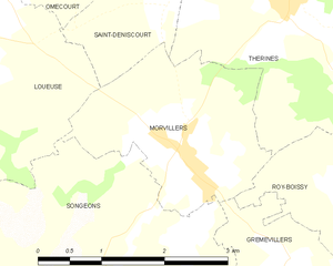
Morvillers
- commune in Oise, France
- Country:

- Postal Code: 60380
- Coordinates: 49° 34' 52" N, 1° 52' 14" E


- GPS tracks (wikiloc): [Link]
- Area: 5.12 sq km
- Population: 463
