Sougraigne (Sougraigne)

- commune in Aude, France
- Country:

- Postal Code: 11190
- Coordinates: 42° 54' 3" N, 2° 21' 16" E


- GPS tracks (wikiloc): [Link]
- Area: 18.43 sq km
- Population: 101
- Web site: http://communes-du-limouxin.fr/sougraigne
- Wikipedia en: wiki(en)
- Wikipedia: wiki(fr)
- Wikidata storage: Wikidata: Q203328
- Wikipedia Commons Category: [Link]
- Freebase ID: [/m/03m90gg]
- GeoNames ID: Alt: [6426875]
- SIREN number: [211103817]
- BnF ID: [15246917p]
- INSEE municipality code: 11381
Shares border with regions:
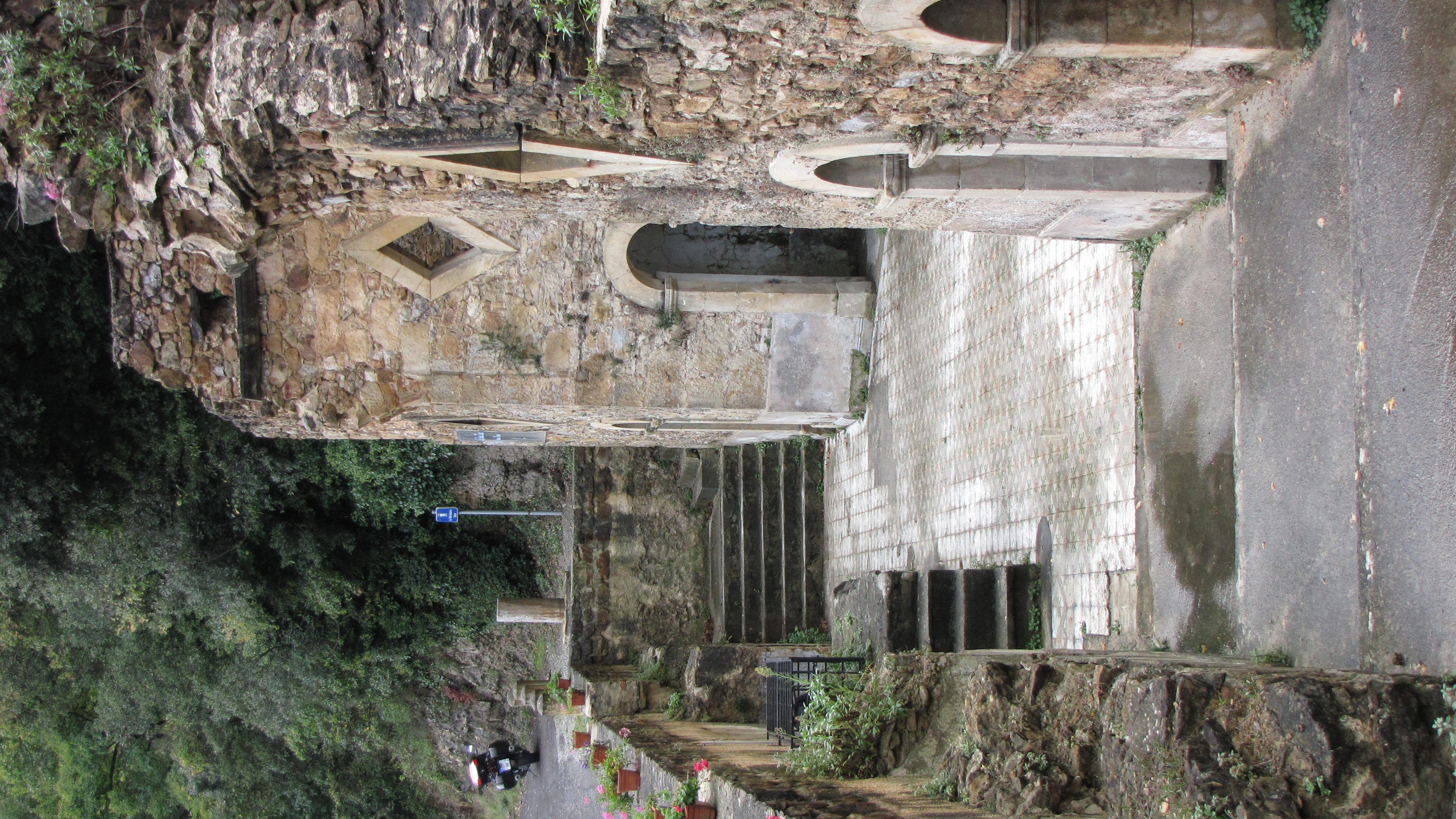
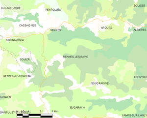
Rennes-les-Bains
- commune in Aude, France
- Country:
- Postal Code: 11190
- Coordinates: 42° 55' 8" N, 2° 19' 8" E
- GPS tracks (wikiloc): [Link]
- Area: 18.77 sq km
- Population: 246
- Web site: [Link]
Fourtou
- commune in Aude, France
- Country:
- Postal Code: 11190
- Coordinates: 42° 54' 28" N, 2° 25' 47" E
- GPS tracks (wikiloc): [Link]
- Area: 20.46 sq km
- Population: 70


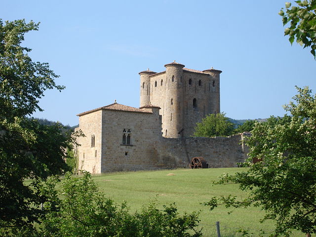
Rennes-le-Château
- commune in Aude, France
- Country:
- Postal Code: 11190
- Coordinates: 42° 55' 38" N, 2° 15' 49" E
- GPS tracks (wikiloc): [Link]
- AboveSeaLevel: 435 м m
- Area: 14.68 sq km
- Population: 71
- Web site: [Link]


Bugarach
- commune in Aude, France
- Country:
- Postal Code: 11190
- Coordinates: 42° 52' 38" N, 2° 21' 4" E
- GPS tracks (wikiloc): [Link]
- Area: 26.62 sq km
- Population: 225
- Web site: [Link]

Arques
- commune in Aude, France
- Country:
- Postal Code: 11190
- Coordinates: 42° 57' 9" N, 2° 22' 30" E
- GPS tracks (wikiloc): [Link]
- Area: 18.53 sq km
- Population: 239