Souillac (Souillac)
- commune in Lot, France
- Country:

- Postal Code: 46200
- Coordinates: 44° 53' 52" N, 1° 28' 27" E


- GPS tracks (wikiloc): [Link]
- AboveSeaLevel: 221 м m
- Area: 25.92 sq km
- Population: 3353
- Web site: http://www.souillac-sur-dordogne.fr
- Wikipedia en: wiki(en)
- Wikipedia: wiki(fr)
- Wikidata storage: Wikidata: Q726680
- Wikipedia Commons Gallery: [Link]
- Wikipedia Commons Category: [Link]
- Freebase ID: [/m/03gzmlk]
- GeoNames ID: Alt: [6434923]
- SIREN number: [214603094]
- BnF ID: [152610507]
- archINFORM location ID: [12471]
- PACTOLS thesaurus ID: [pcrtN30vtkjJSH]
- MusicBrainz area ID: [721d54e0-0380-410b-8323-5048f7c99259]
- Gran Enciclopèdia Catalana ID: [0063458]
- INSEE municipality code: 46309
Shares border with regions:


Cazoulès
- commune in Dordogne, France
- Country:

- Postal Code: 24370
- Coordinates: 44° 52' 59" N, 1° 26' 2" E


- GPS tracks (wikiloc): [Link]
- AboveSeaLevel: 101 м m
- Area: 3.52 sq km
- Population: 469


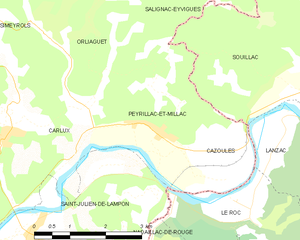
Peyrillac-et-Millac
- commune in Dordogne, France
- Country:

- Postal Code: 24370
- Coordinates: 44° 53' 16" N, 1° 24' 27" E


- GPS tracks (wikiloc): [Link]
- Area: 6.94 sq km
- Population: 223
- Web site: [Link]


Pinsac
- commune in Lot, France
- Country:

- Postal Code: 46200
- Coordinates: 44° 51' 20" N, 1° 30' 51" E


- GPS tracks (wikiloc): [Link]
- Area: 19.69 sq km
- Population: 763
- Web site: [Link]


Gignac
- commune in Lot, France
- Country:

- Postal Code: 46600
- Coordinates: 45° 0' 19" N, 1° 27' 28" E


- GPS tracks (wikiloc): [Link]
- Area: 40.66 sq km
- Population: 656
- Web site: [Link]
Lanzac
- commune in Lot, France
- Country:

- Postal Code: 46200
- Coordinates: 44° 52' 27" N, 1° 28' 58" E


- GPS tracks (wikiloc): [Link]
- Area: 14.62 sq km
- Population: 603


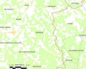
Borrèze
- commune in Dordogne, France
- Country:

- Postal Code: 24590
- Coordinates: 44° 57' 17" N, 1° 23' 18" E


- GPS tracks (wikiloc): [Link]
- Area: 27.37 sq km
- Population: 347


Salignac-Eyvigues
- commune in Dordogne, France
- Country:

- Postal Code: 24590
- Coordinates: 44° 58' 28" N, 1° 19' 22" E


- GPS tracks (wikiloc): [Link]
- AboveSeaLevel: 280 м m
- Area: 43.48 sq km
- Population: 1177
- Web site: [Link]


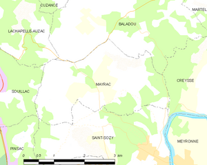
Mayrac
- commune in Lot, France
- Country:

- Postal Code: 46200
- Coordinates: 44° 53' 55" N, 1° 33' 30" E


- GPS tracks (wikiloc): [Link]
- Area: 7.86 sq km
- Population: 263
- Web site: [Link]


Lachapelle-Auzac
- commune in Lot, France
- Country:

- Postal Code: 46200
- Coordinates: 44° 54' 30" N, 1° 28' 21" E


- GPS tracks (wikiloc): [Link]
- Area: 31.34 sq km
- Population: 788
