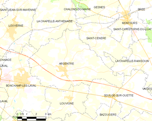
Soulgé-sur-Ouette (Soulgé-sur-Ouette)

- commune in Mayenne, France
- Country:

- Postal Code: 53210
- Coordinates: 48° 3' 37" N, 0° 34' 12" E


- GPS tracks (wikiloc): [Link]
- AboveSeaLevel: 100 м m
- Area: 22.94 sq km
- Population: 1093
- Wikipedia en: wiki(en)
- Wikipedia: wiki(fr)
- Wikidata storage: Wikidata: Q640459
- Wikipedia Commons Category: [Link]
- Freebase ID: [/m/03nq0fg]
- GeoNames ID: Alt: [6617037]
- SIREN number: [215302621]
- BnF ID: [15264055p]
- PACTOLS thesaurus ID: [pcrtIXwuKcakdW]
- INSEE municipality code: 53262
Shares border with regions:


Vaiges
- commune in Mayenne, France
- Country:
- Postal Code: 53480
- Coordinates: 48° 2' 27" N, 0° 28' 34" E
- GPS tracks (wikiloc): [Link]
- Area: 36.26 sq km
- Population: 1152


Louvigné
- commune in Mayenne, France
- Country:
- Postal Code: 53210
- Coordinates: 48° 3' 25" N, 0° 37' 49" E
- GPS tracks (wikiloc): [Link]
- Area: 12.56 sq km
- Population: 1108


La Chapelle-Rainsouin
- commune in Mayenne, France
- Country:
- Postal Code: 53150
- Coordinates: 48° 5' 55" N, 0° 31' 12" E
- GPS tracks (wikiloc): [Link]
- Area: 18.05 sq km
- Population: 417
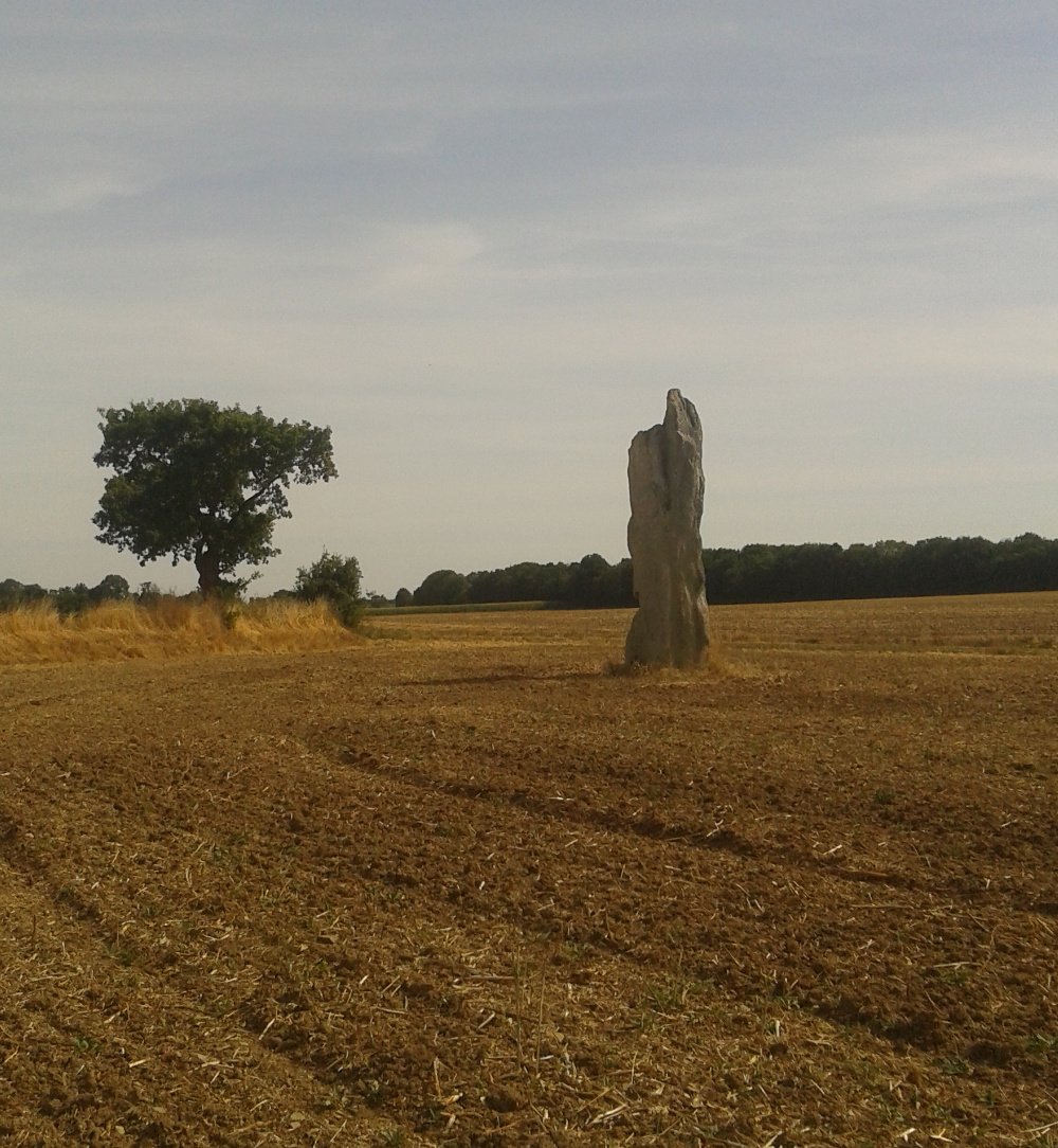
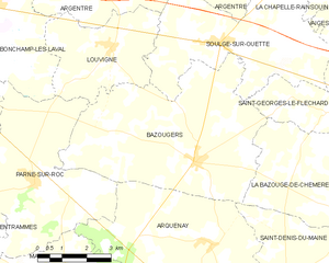
Bazougers
- commune in Mayenne, France
- Country:
- Postal Code: 53170
- Coordinates: 48° 0' 59" N, 0° 34' 51" E
- GPS tracks (wikiloc): [Link]
- Area: 31.72 sq km
- Population: 1133
- Web site: [Link]

Argentré
- commune in Mayenne, France
- Country:
- Postal Code: 53210
- Coordinates: 48° 5' 3" N, 0° 38' 29" E
- GPS tracks (wikiloc): [Link]
- Area: 36.77 sq km
- Population: 2766
- Web site: [Link]


Saint-Georges-le-Fléchard
- commune in Mayenne, France
- Country:
- Postal Code: 53480
- Coordinates: 48° 2' 12" N, 0° 30' 36" E
- GPS tracks (wikiloc): [Link]
- Area: 8.44 sq km
- Population: 416
- Web site: [Link]