Soultzeren (Soultzeren)

- commune in Haut-Rhin, France
- Country:

- Postal Code: 68140
- Coordinates: 48° 3' 45" N, 7° 6' 9" E


- GPS tracks (wikiloc): [Link]
- Area: 18.37 sq km
- Population: 1135
- Web site: http://www.soultzeren.fr
- Wikipedia en: wiki(en)
- Wikipedia: wiki(fr)
- Wikidata storage: Wikidata: Q635509
- Wikipedia Commons Category: [Link]
- Freebase ID: [/m/03nphm2]
- Freebase ID: [/m/03nphm2]
- GeoNames ID: Alt: [2973994]
- GeoNames ID: Alt: [2973994]
- SIREN number: [216803171]
- SIREN number: [216803171]
- BnF ID: [15272019j]
- BnF ID: [15272019j]
- VIAF ID: Alt: [243862148]
- VIAF ID: Alt: [243862148]
- WOEID: [622597]
- WOEID: [622597]
- INSEE municipality code: 68317
- INSEE municipality code: 68317
Shares border with regions:

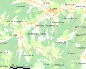
Luttenbach-près-Munster
- commune in Haut-Rhin, France
- Country:
- Postal Code: 68140
- Coordinates: 48° 1' 56" N, 7° 7' 9" E
- GPS tracks (wikiloc): [Link]
- Area: 7.86 sq km
- Population: 738


Orbey
- commune in Haut-Rhin, France
- Country:
- Postal Code: 68370
- Coordinates: 48° 7' 35" N, 7° 9' 39" E
- GPS tracks (wikiloc): [Link]
- AboveSeaLevel: 500 м m
- Area: 46.02 sq km
- Population: 3576
- Web site: [Link]


Hohrod
- commune in Haut-Rhin, France
- Country:
- Postal Code: 68140
- Coordinates: 48° 3' 15" N, 7° 7' 29" E
- GPS tracks (wikiloc): [Link]
- Area: 5.49 sq km
- Population: 330


Stosswihr
- commune in Haut-Rhin, France
- Country:
- Postal Code: 68140
- Coordinates: 48° 3' 14" N, 7° 6' 15" E
- GPS tracks (wikiloc): [Link]
- Area: 26.4 sq km
- Population: 1344


Plainfaing
- commune in Vosges, France
- Country:
- Postal Code: 88230
- Coordinates: 48° 10' 20" N, 7° 0' 49" E
- GPS tracks (wikiloc): [Link]
- Area: 38.56 sq km
- Population: 1738
- Web site: [Link]

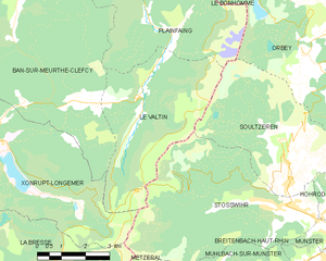
Le Valtin
- commune in Vosges, France
- Country:
- Postal Code: 88230
- Coordinates: 48° 5' 53" N, 7° 1' 25" E
- GPS tracks (wikiloc): [Link]
- Area: 19.64 sq km
- Population: 81